Catalogue
Displaying 2376 - 2400 of 2639
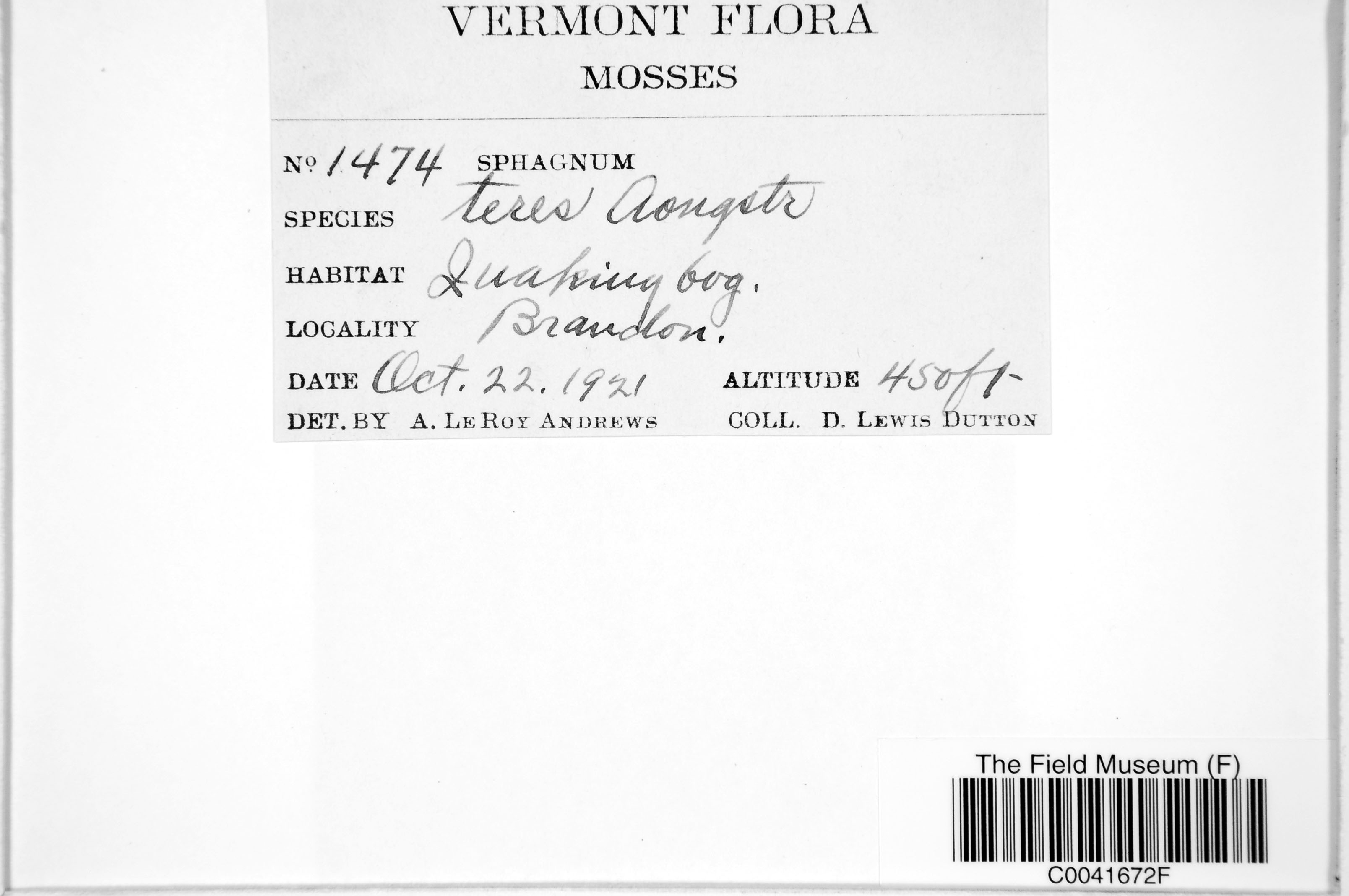
D. L. Dutton 1474
Date collected: 22 October 1921
Barcode: C0041672F
Locality: United States of America | Vermont | Rutland | Brandon
Available Media:
 1 image file
IRN: 2376202
GUID: b00a83a0-a4e0-4f32-a980-9f1987ce71d0
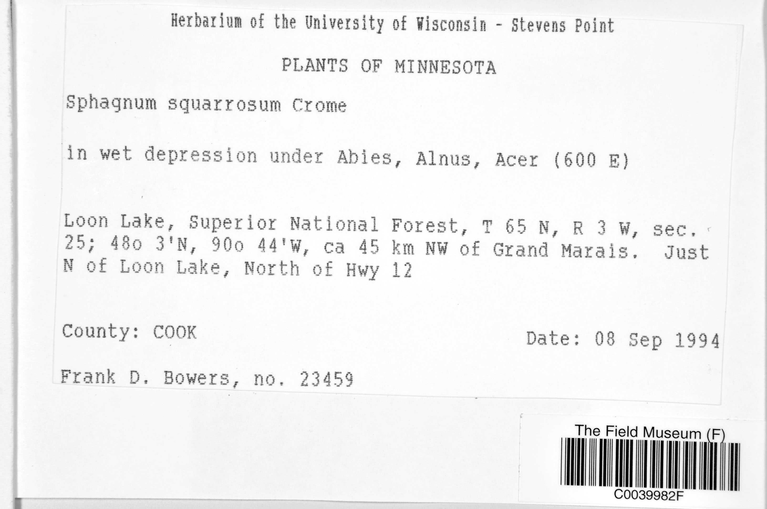
F. D. Bowers 23459
Date collected: 8 September 1994
Barcode: C0039982F
Locality: United States of America | Minnesota | Cook |
Available Media:
- 1 image file
IRN: 2375154
GUID: 4898f146-d037-4824-9cf9-5c32855560f6
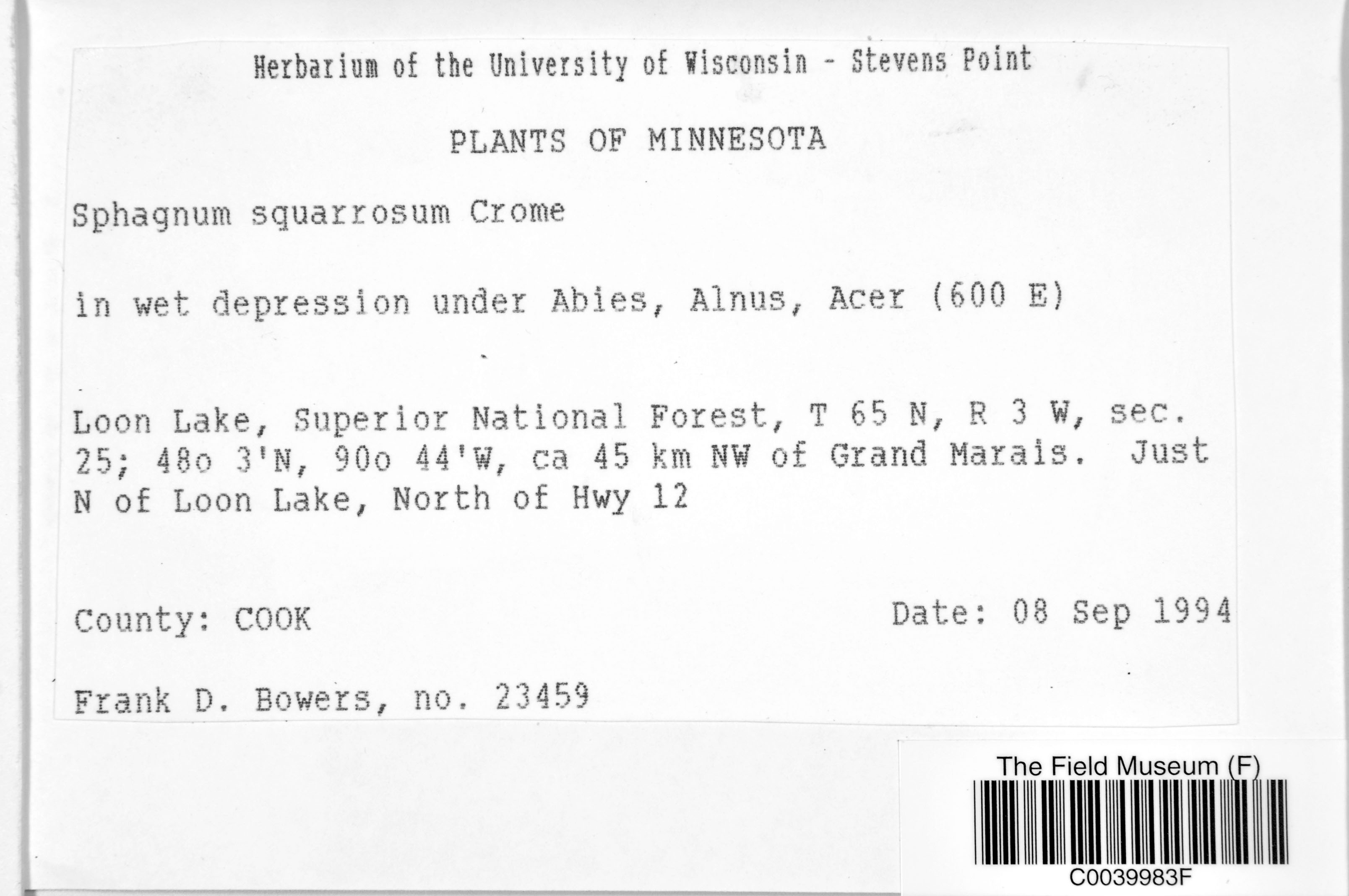
F. D. Bowers 23459
Date collected: 8 September 1994
Barcode: C0039983F
Locality: United States of America | Minnesota | Cook |
Available Media:
- 1 image file
IRN: 2375155
GUID: f590cd09-5d22-444e-855c-a8b670fda30e
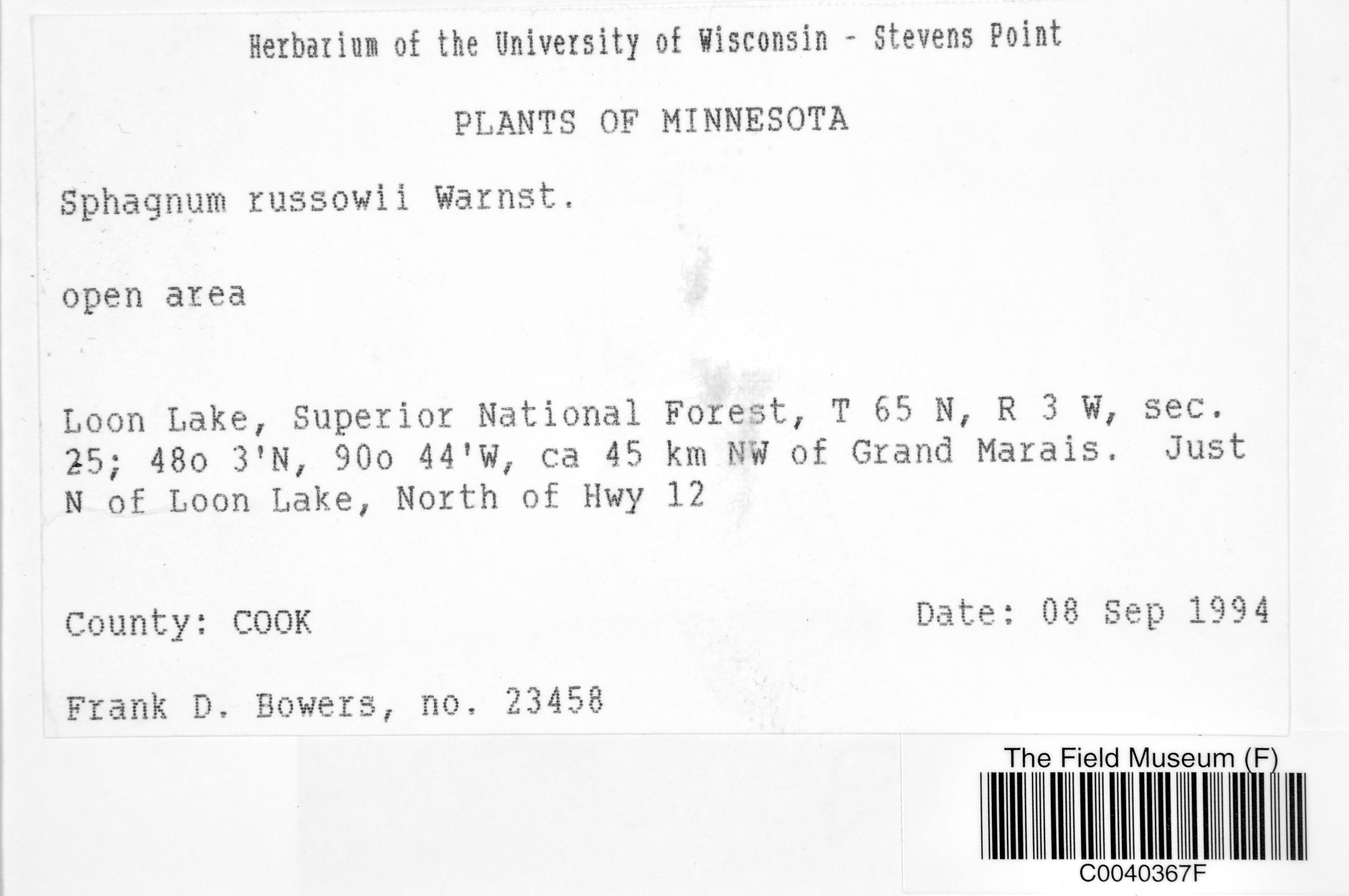
F. D. Bowers 23458
Date collected: 8 September 1994
Barcode: C0040367F
Locality: United States of America | Minnesota | Cook |
Available Media:
- 1 image file
IRN: 2375271
GUID: 03c67f40-791b-4fca-be84-e8be2603ba40
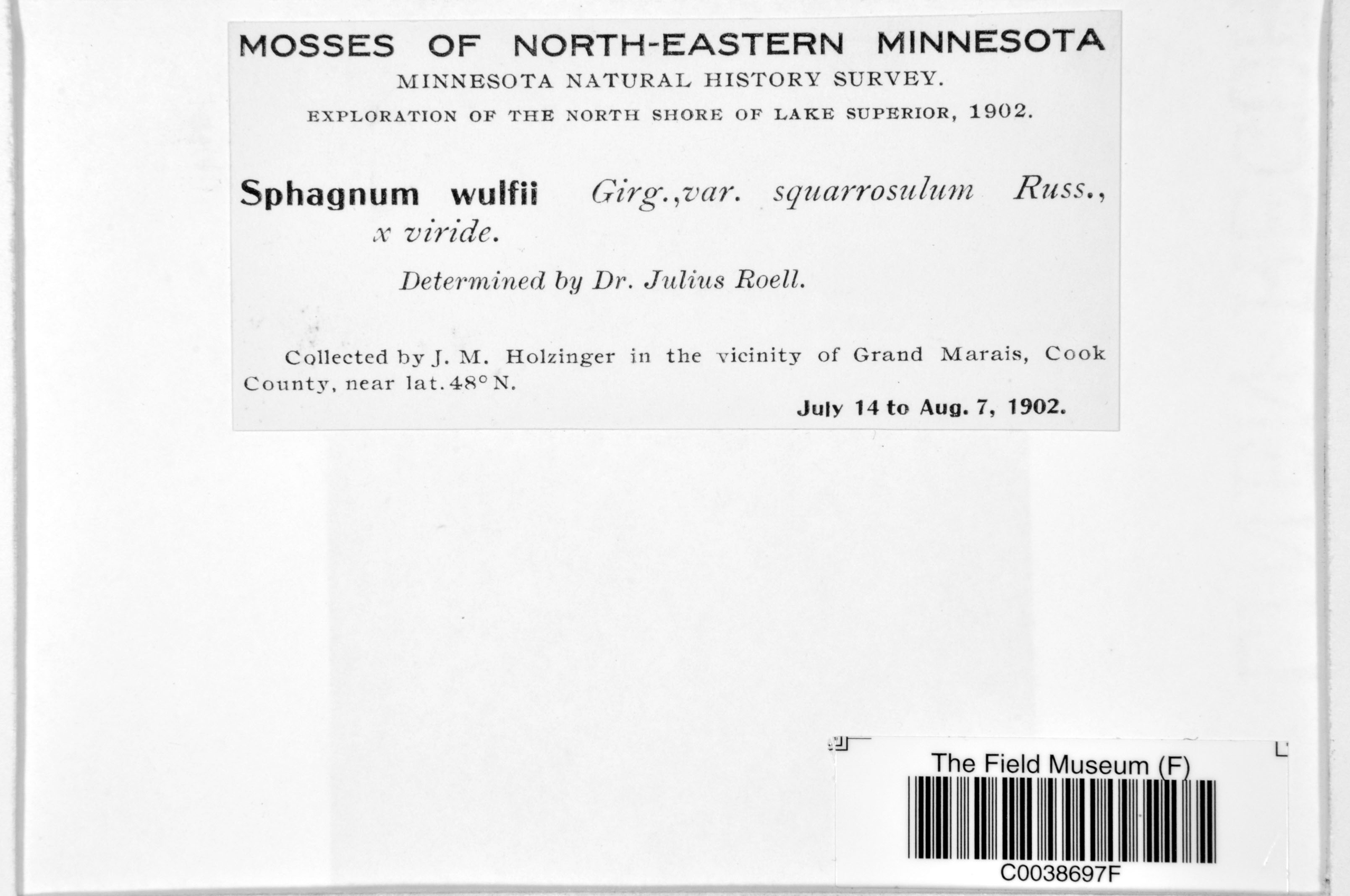
J. M. Holzinger s.n.
Date collected: 14 July 1902
Barcode: C0038697F
Locality: United States of America | Minnesota | Cook |
Available Media:
- 1 image file
IRN: 2368417
GUID: caf71a7c-2d54-4f2a-b6ab-438cf22e2350
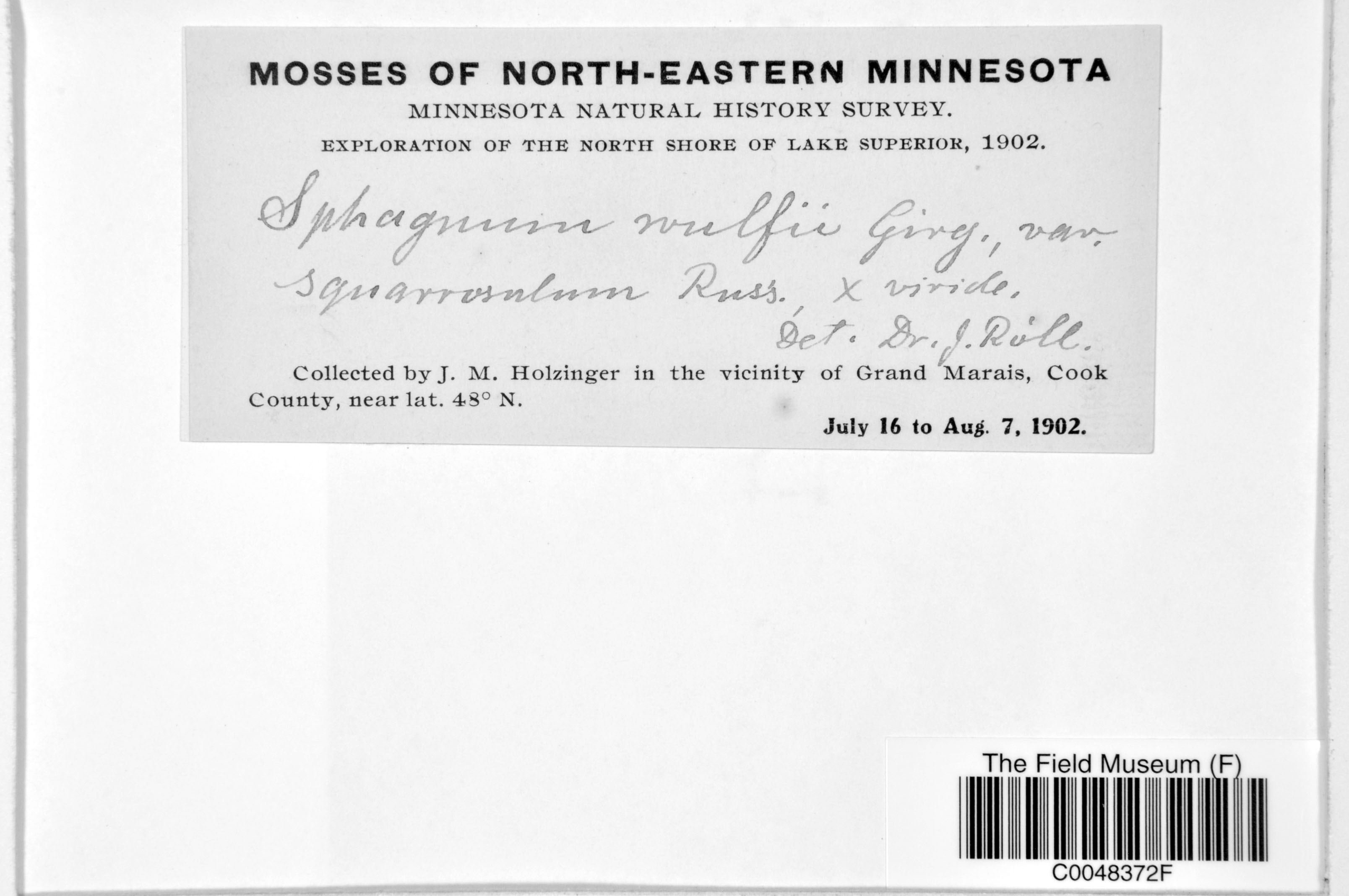
J. M. Holzinger s.n.
Date collected: 16 July 1902
Barcode: C0048372F
Locality: United States of America | Minnesota | Cook |
Available Media:
- 1 image file
IRN: 2368606
GUID: 52a0e912-2405-4218-b263-40bb605bbf9e
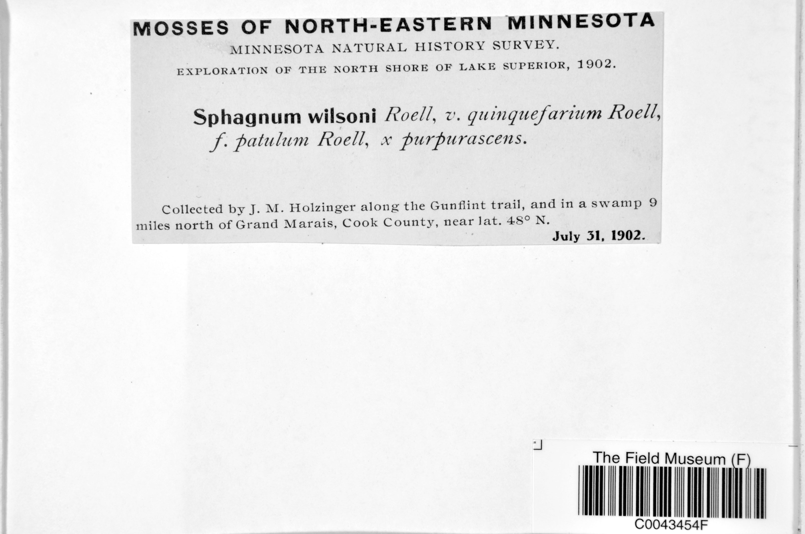
J. M. Holzinger s.n.
Date collected: 31 July 1902
Barcode: C0043454F
Locality: United States of America | Minnesota | Cook |
Available Media:
- 2 image files
IRN: 2368165
GUID: 3b15682d-dc62-4029-bacb-6f75150ce1af
J. M. Holzinger s.n.
Date collected: 31 July 1902
Barcode: C0043091F
Locality: United States of America | Minnesota | Cook |
Available Media:
- 1 image file

IRN: 2369111
GUID: 0e42ec8b-2f47-481b-b3b3-62f7dd245ef1
J. M. Holzinger s.n.
Date collected: 31 July 1902
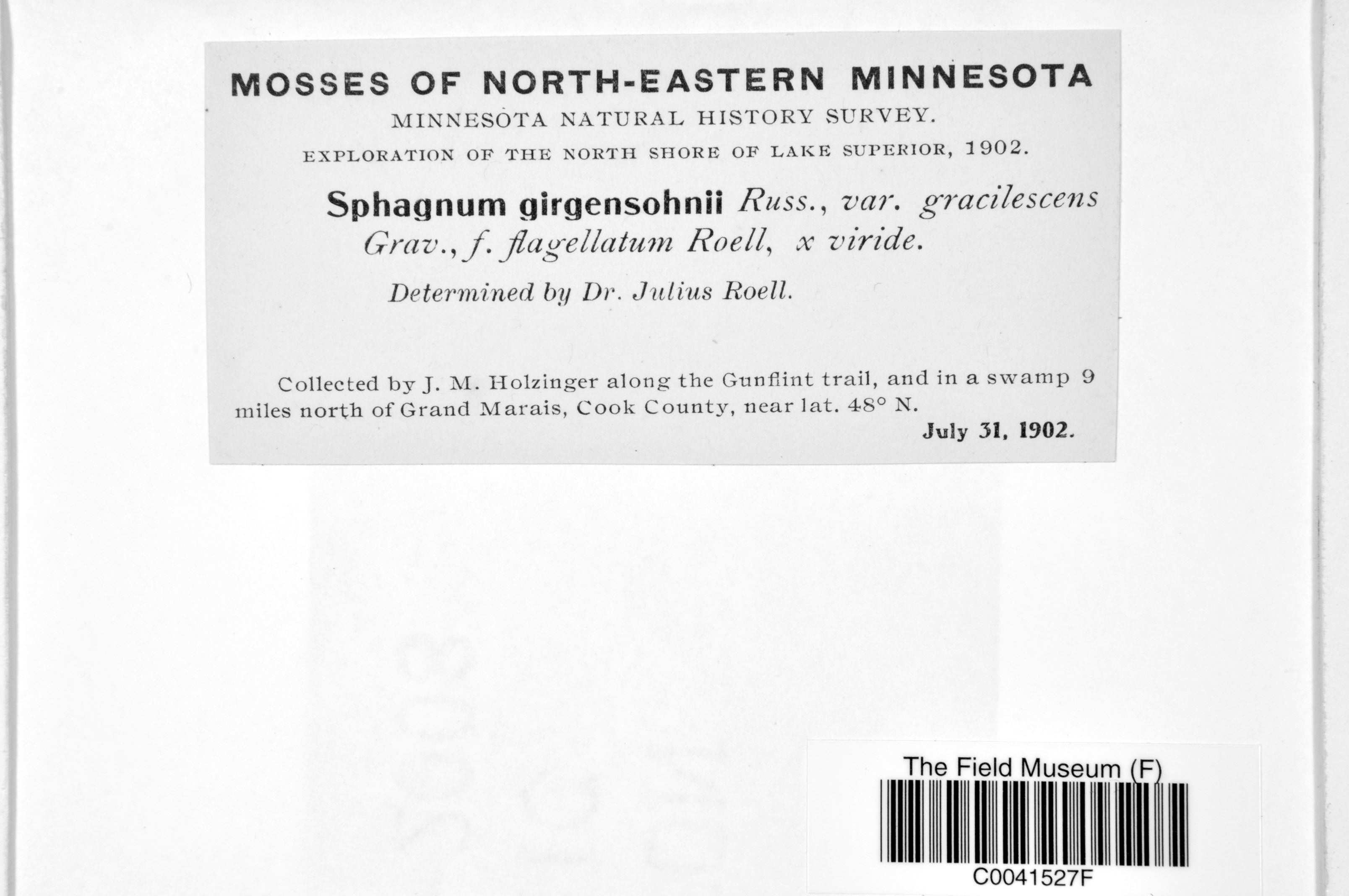
Barcode: C0041527F
Locality: United States of America | Minnesota | Cook |
Available Media:
- 1 image file
IRN: 2369103
GUID: 910cddcf-40fa-4fc5-a8d9-654f8eb01311
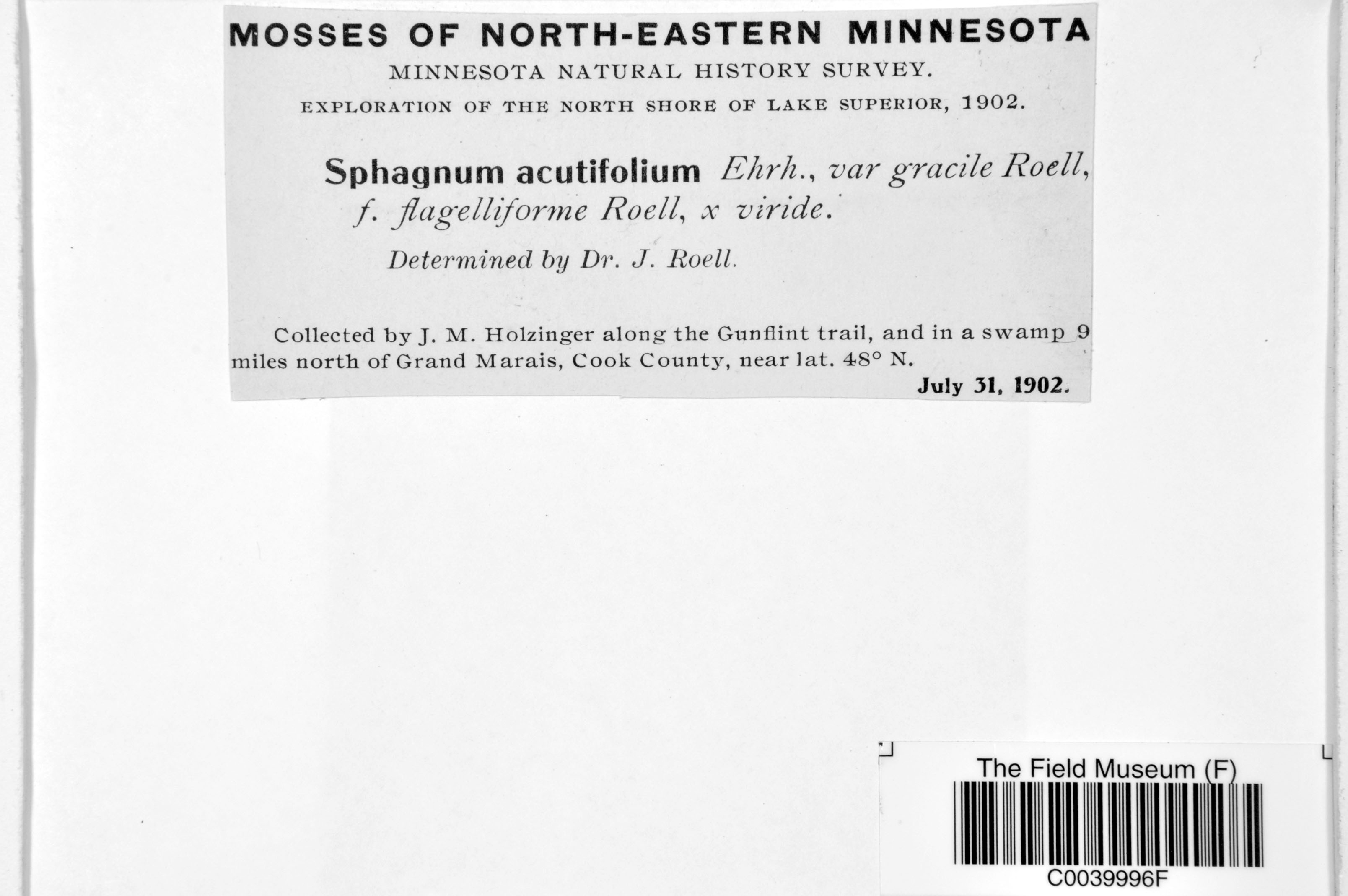
J. M. Holzinger s.n.
Date collected: 31 July 1902
Barcode: C0039996F
Locality: United States of America | Minnesota | Cook |
Available Media:
- 1 image file
IRN: 2368791
GUID: f7b71601-4eaf-46ac-8f4b-3b1ac1172735
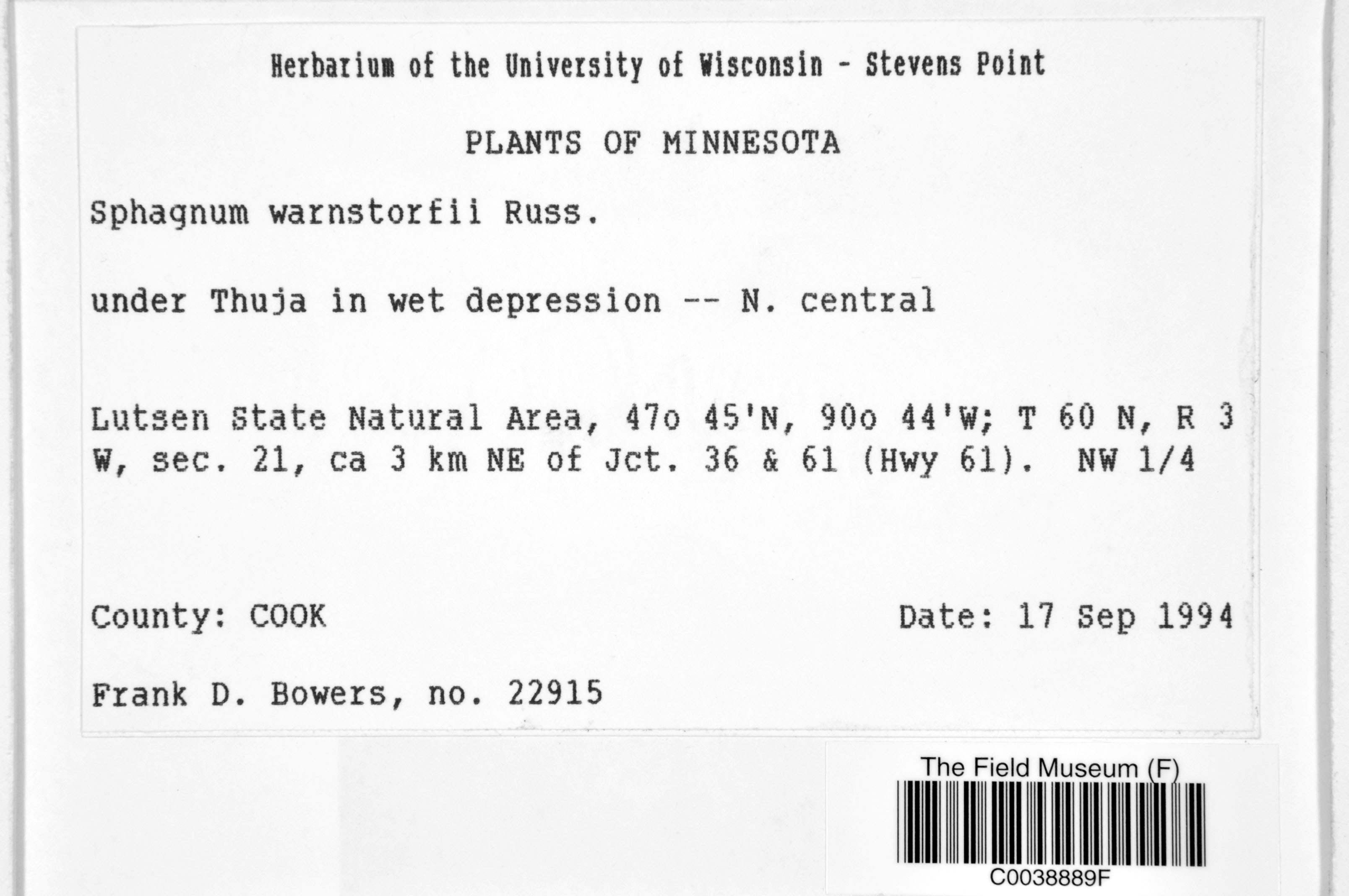
F. D. Bowers 22915
Date collected: 17 September 1994
Barcode: C0038889F
Locality: United States of America | Minnesota | Cook |
Available Media:
- 1 image file
IRN: 2369141
GUID: 8a66f0cb-f03f-49c5-8c9a-52a479be5b7c
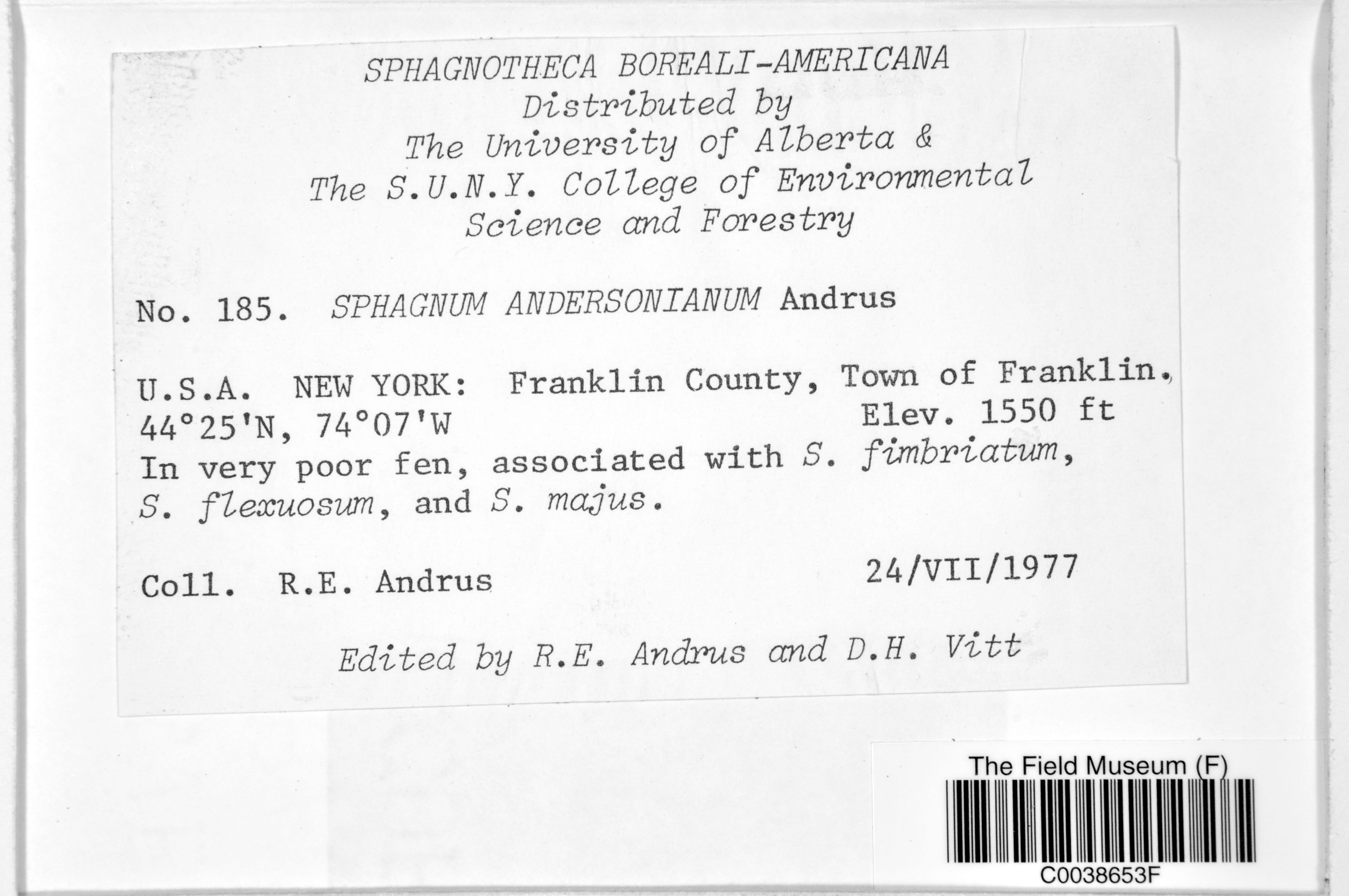
R. E. Andrus 185
Date collected: 24 July 1977
Barcode: C0038653F
Locality: United States of America | New York | Franklin | Franklin
Available Media:
- 1 image file
IRN: 2368398
GUID: 448f207d-aa93-4544-92c5-b8d4ab2a874f
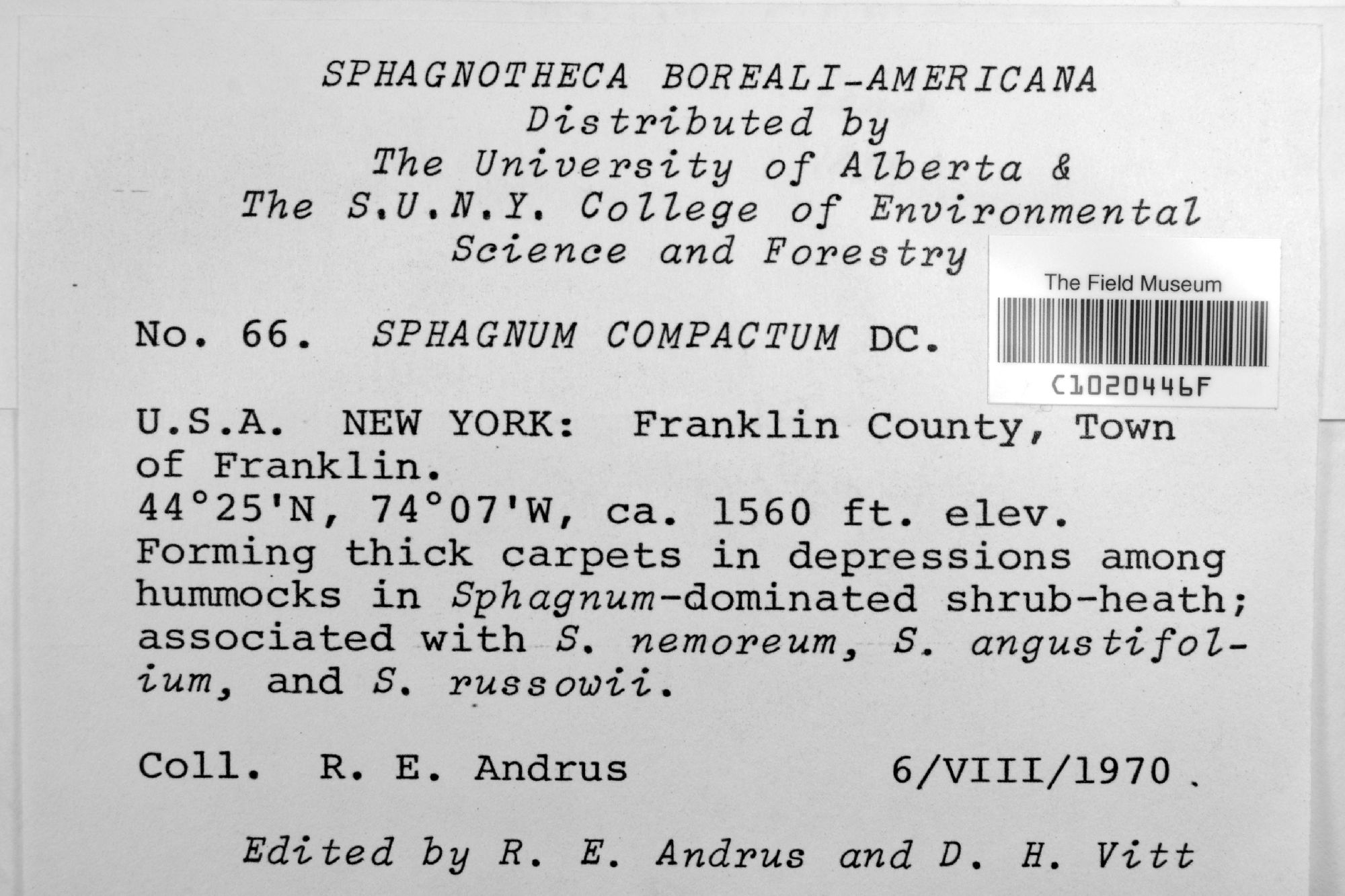
R. E. Andrus s.n.
Date collected: 6 August 1970
Barcode: C1020446F
Locality: United States of America | New York | Franklin | Franklin
Available Media:
- 1 image file
IRN: 4501100
GUID: d2810dea-a348-4da4-9b04-b0830147b1cb
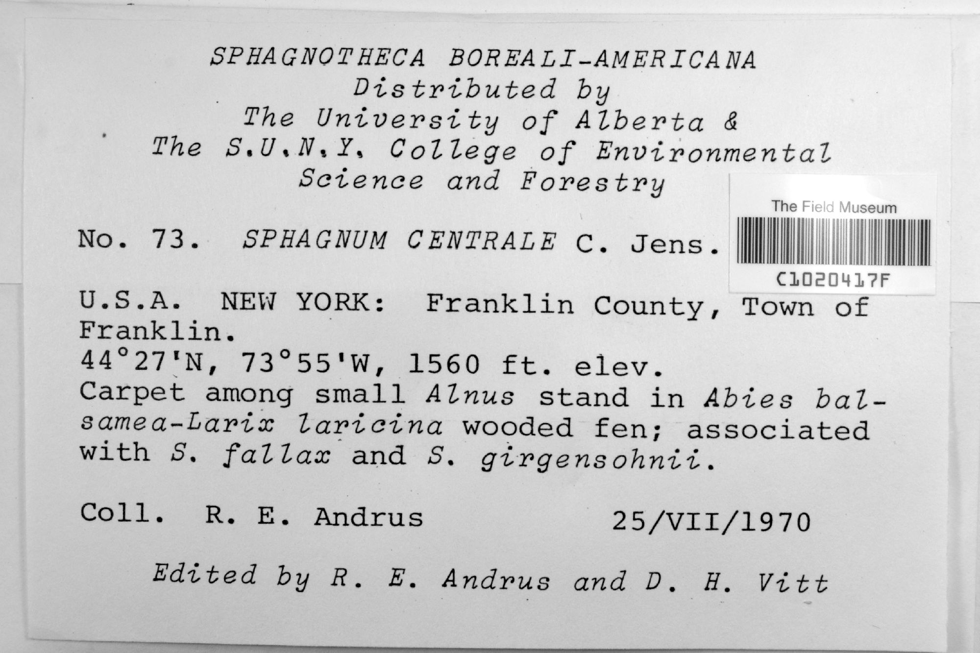
R. E. Andrus s.n.
Date collected: 25 July 1970
Barcode: C1020417F
Locality: United States of America | New York | Franklin | Franklin
Available Media:
- 1 image file
IRN: 4501101
GUID: e62c2aeb-529b-417b-a6ff-bbf4c8973138
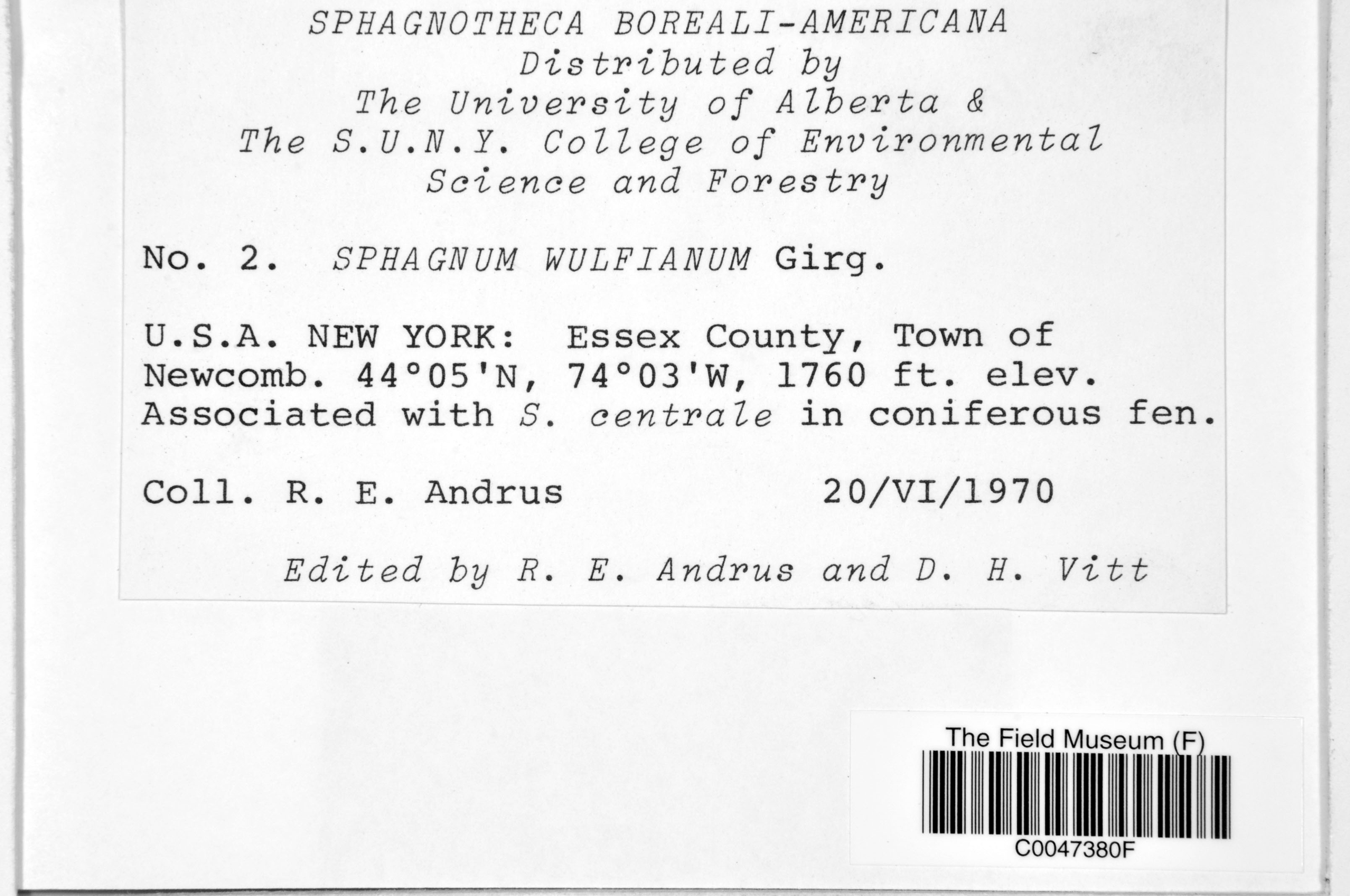
R. E. Andrus 2
Date collected: 20 June 1970
Barcode: C0047380F
Locality: United States of America | New York | Essex | Newcomb
Available Media:
- 1 image file
IRN: 2368603
GUID: 5bf77dd6-0f7d-49c5-b18e-0752baf53701
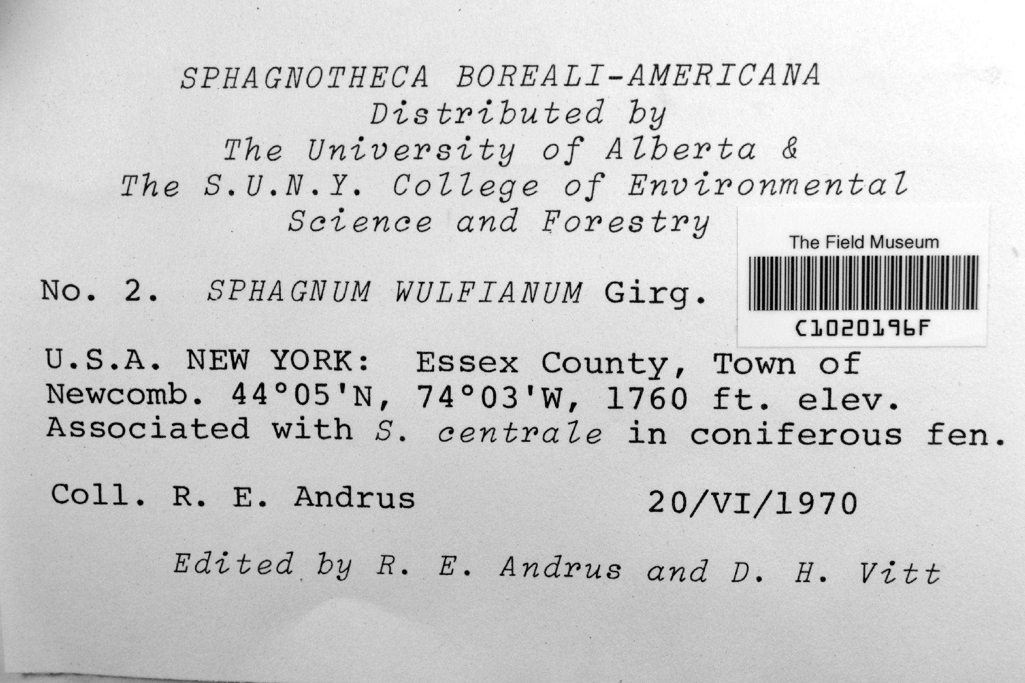
R. E. Andrus s.n.
Date collected: 20 June 1970
Barcode: C1020196F
Locality: United States of America | New York | Essex | Newcomb
Available Media:
- 1 image file
IRN: 4501098
GUID: 2fae906f-c6a0-4eed-bd86-f5502d672ed6
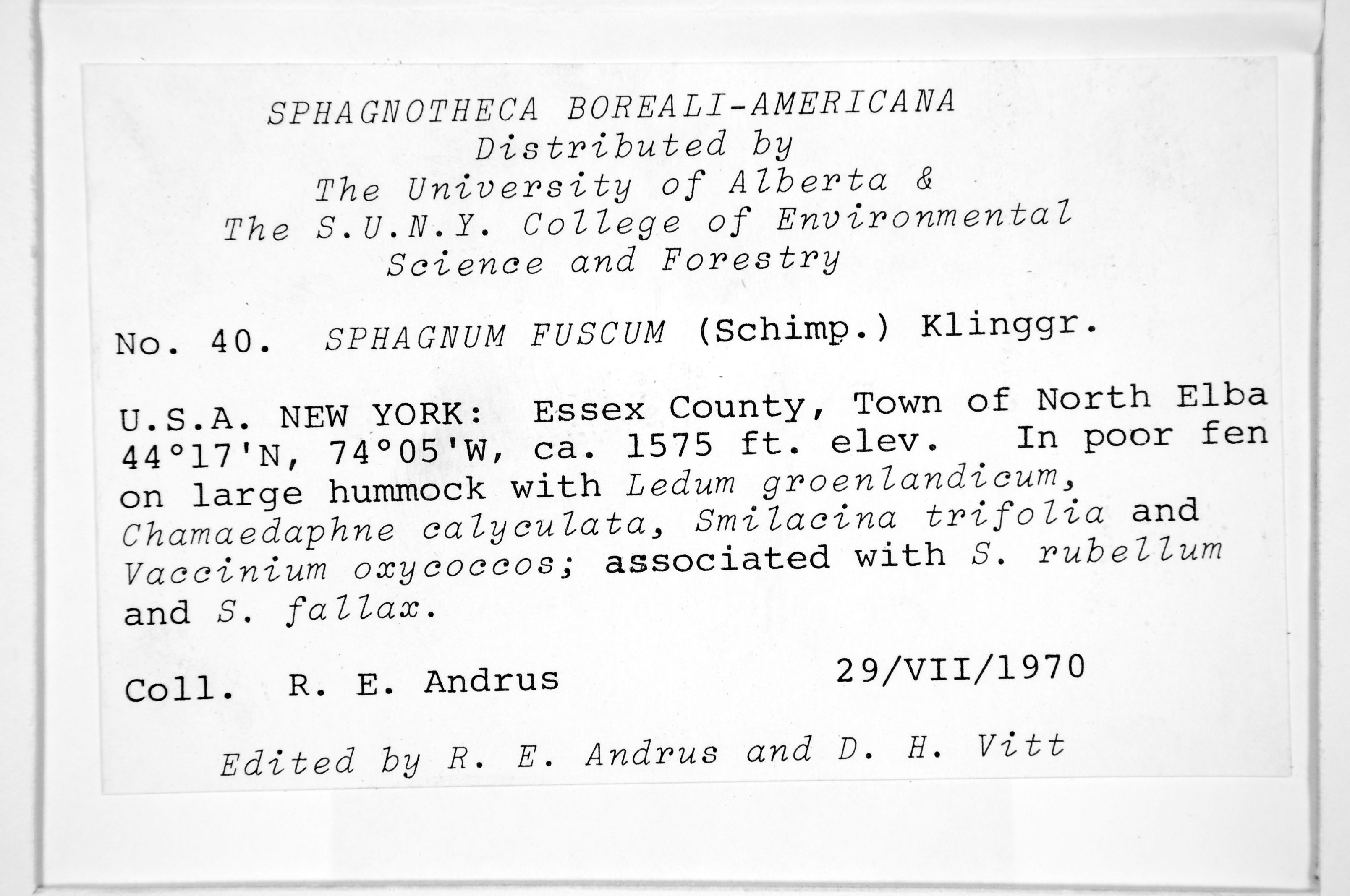
R. E. Andrus 40
Date collected: 29 July 1970
Barcode: C0041140F
Locality: United States of America | New York | Essex | North Elba
Available Media:
- 1 image file
IRN: 2375707
GUID: 11dfe569-bdd5-4f15-b202-4911b634b839
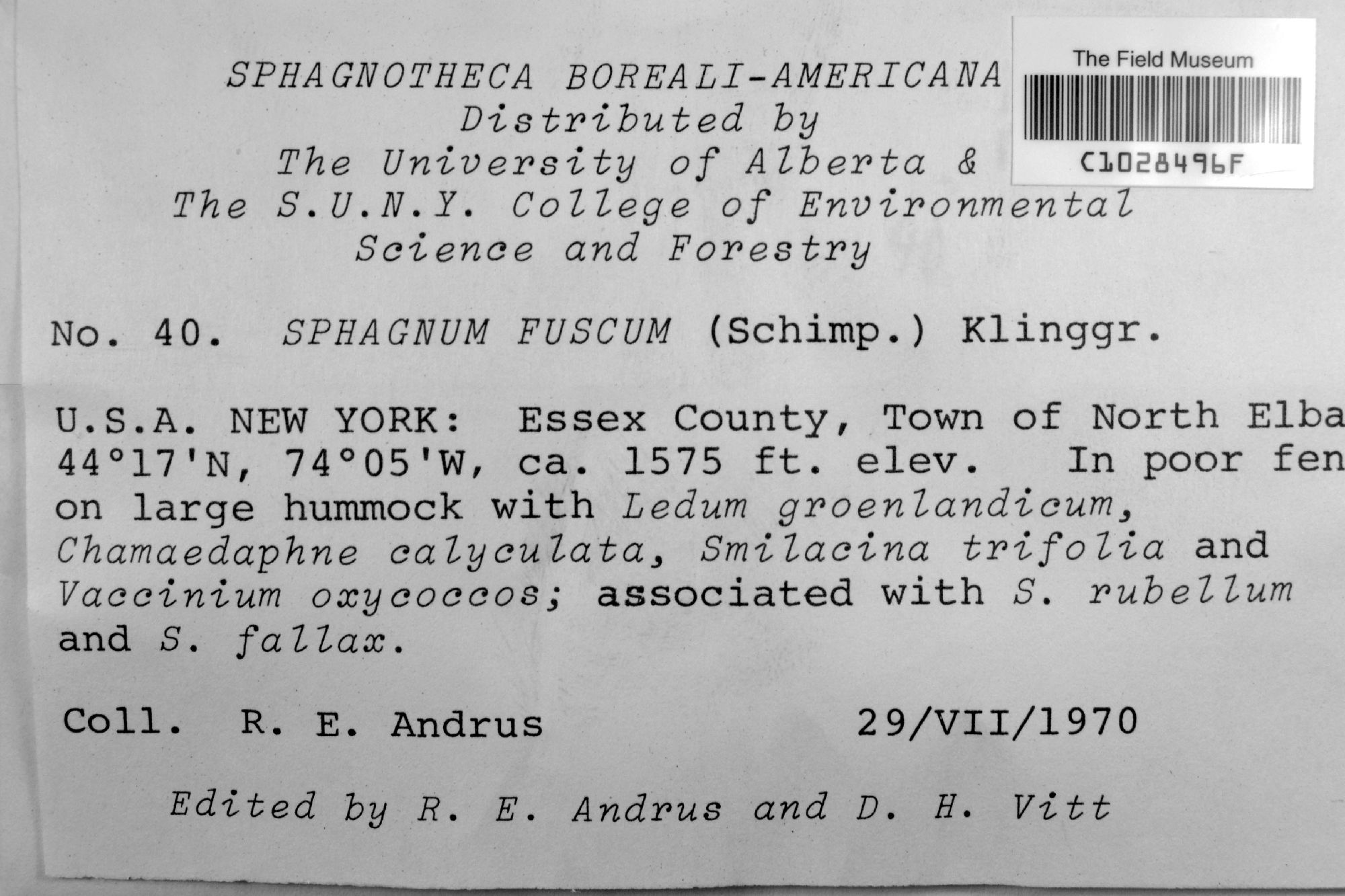
R. E. Andrus s.n.
Date collected: 29 July 1970
Barcode: C1028496F
Locality: United States of America | New York | Essex | North Elba
Available Media:
- 1 image file
IRN: 4501099
GUID: 58b1a7b6-9c2b-45fe-8928-cc854ffd2ca2
R. S. Williams s.n.
Date collected: 27 October 1919
Barcode: C0039959F
Locality: United States of America | New York | | Bronx
Available Media:
- 1 image file

IRN: 2368772
GUID: f108ce8b-0b43-497c-8313-3af38a9428e3
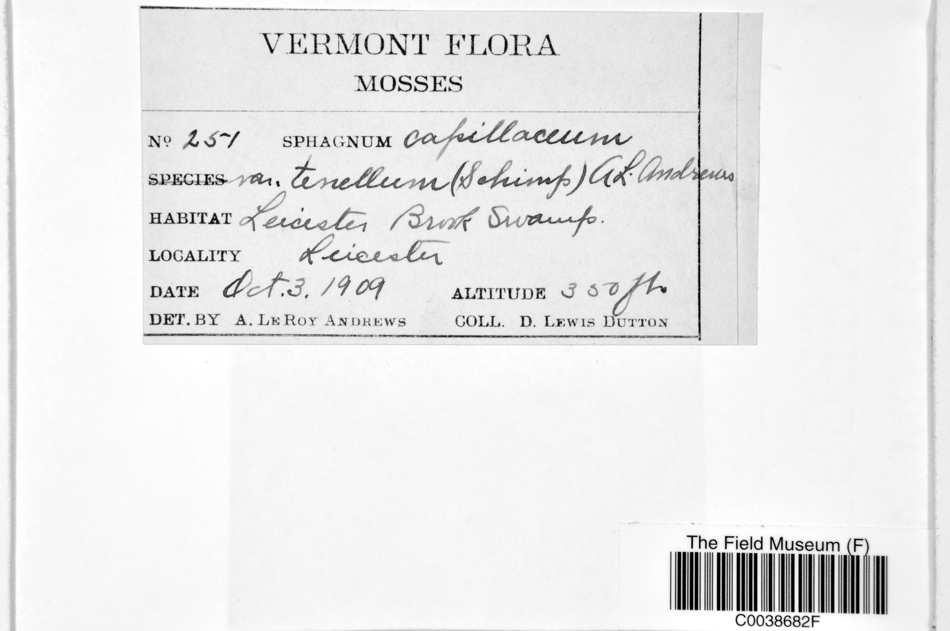
D. L. Dutton 251
Date collected: 3 October 1909
Barcode: C0038682F
Locality: United States of America | Vermont | Addison | Leicester
Available Media:
- 1 image file
IRN: 2368408
GUID: 5b147fc1-5008-4c8b-a0b0-bf6e957f9edd
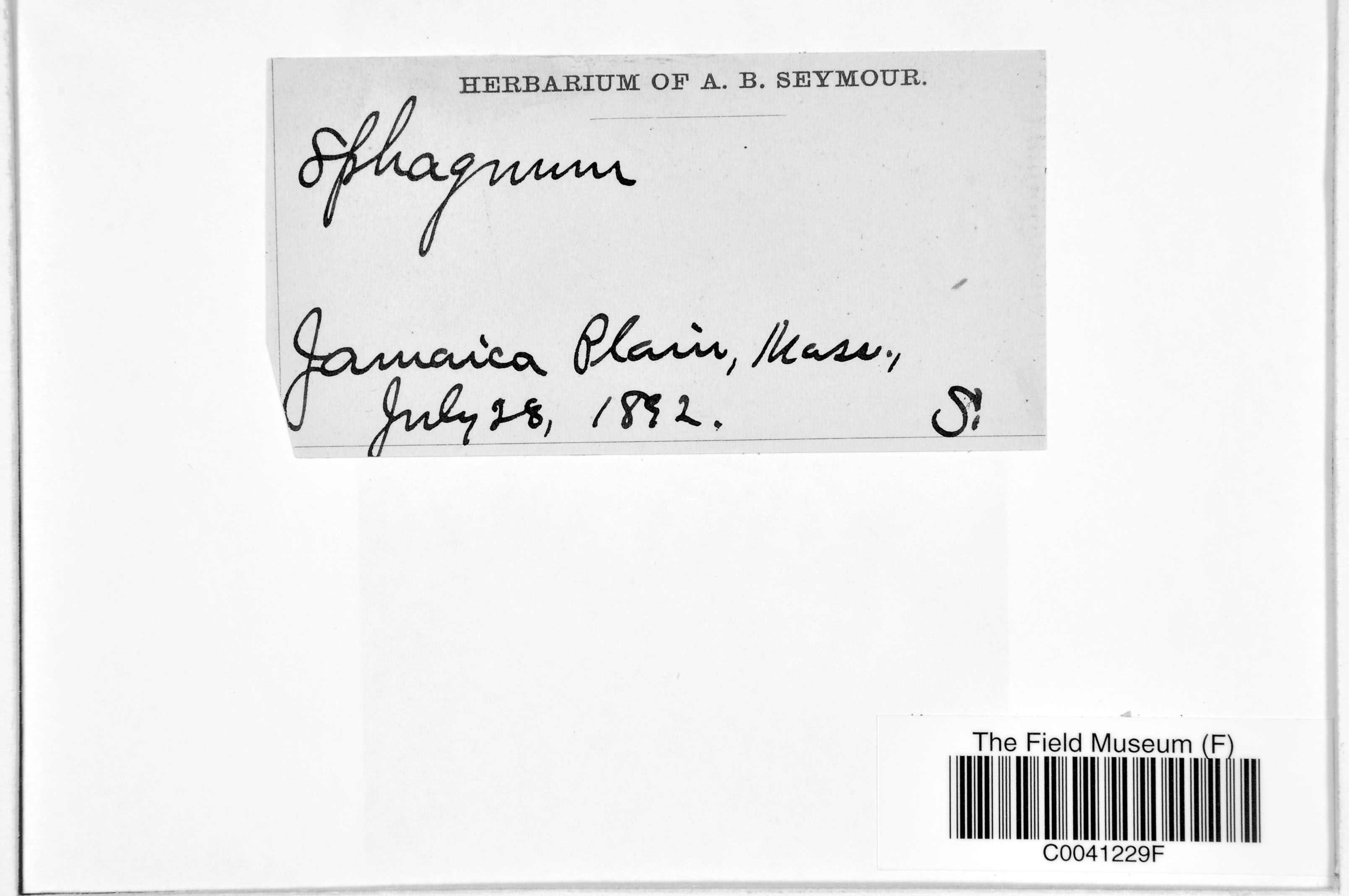
A. B. Seymour s.n.
Date collected: 28 July 1892
Barcode: C0041229F
Locality: United States of America | Massachusetts | Suffolk | Boston
Available Media:
- 2 image files
IRN: 2375774
GUID: a2b932ca-e324-4b9d-90da-b9e552c50ee3
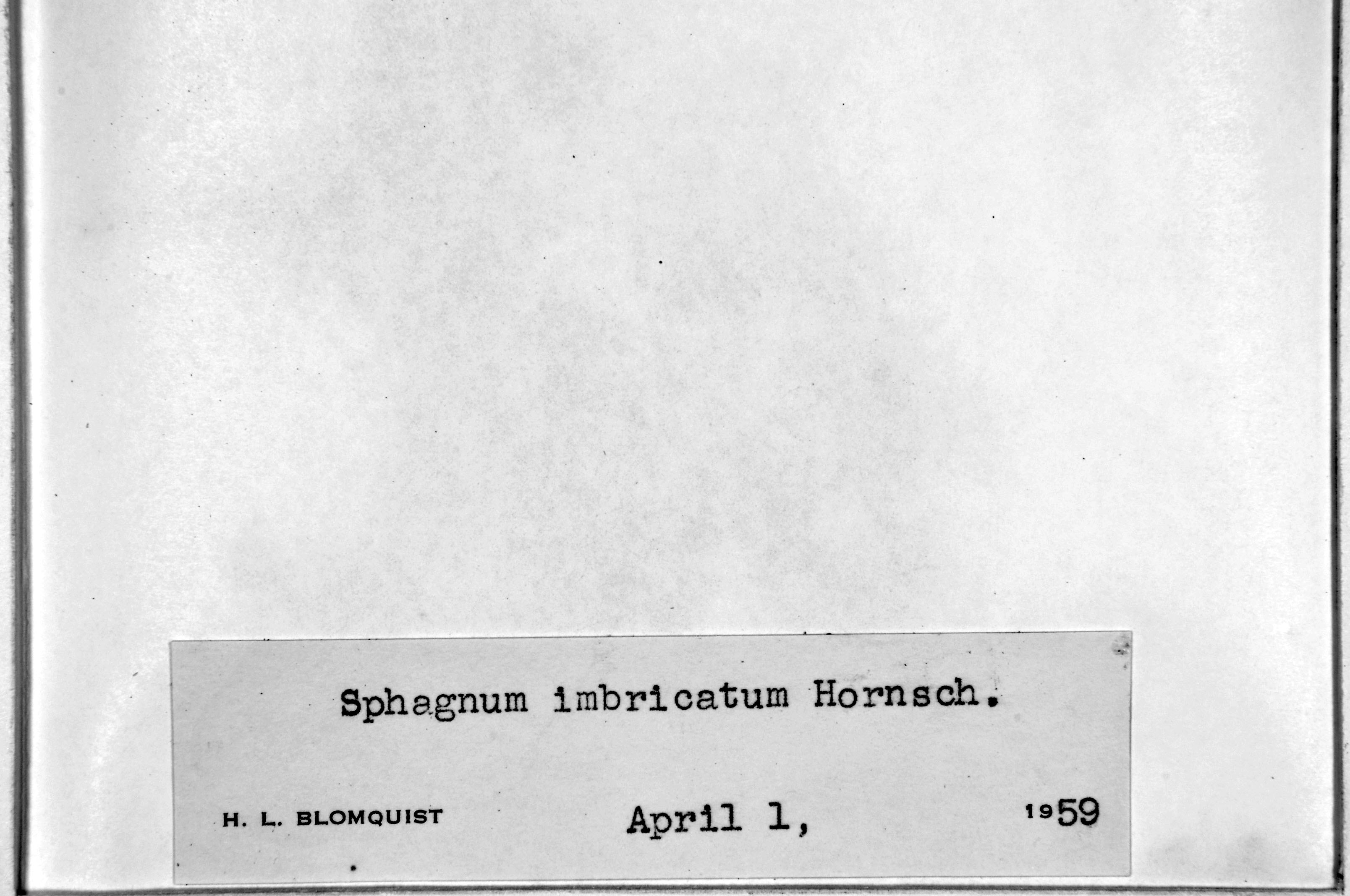
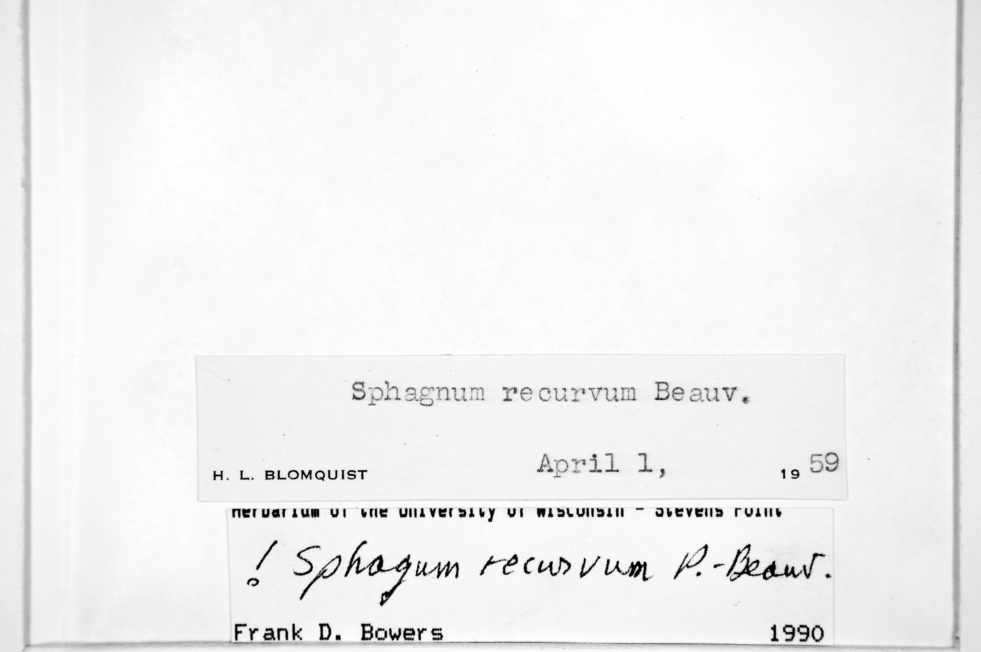
F. C. Seymour s.n.
Date collected: 1 August 1950
Barcode: C0041265F
Locality: United States of America | Wisconsin | Lincoln | Bradley
Available Media:
- 2 image files
IRN: 2375798
GUID: 07c94445-82d3-4fa0-9b8b-788ffb52c0b9
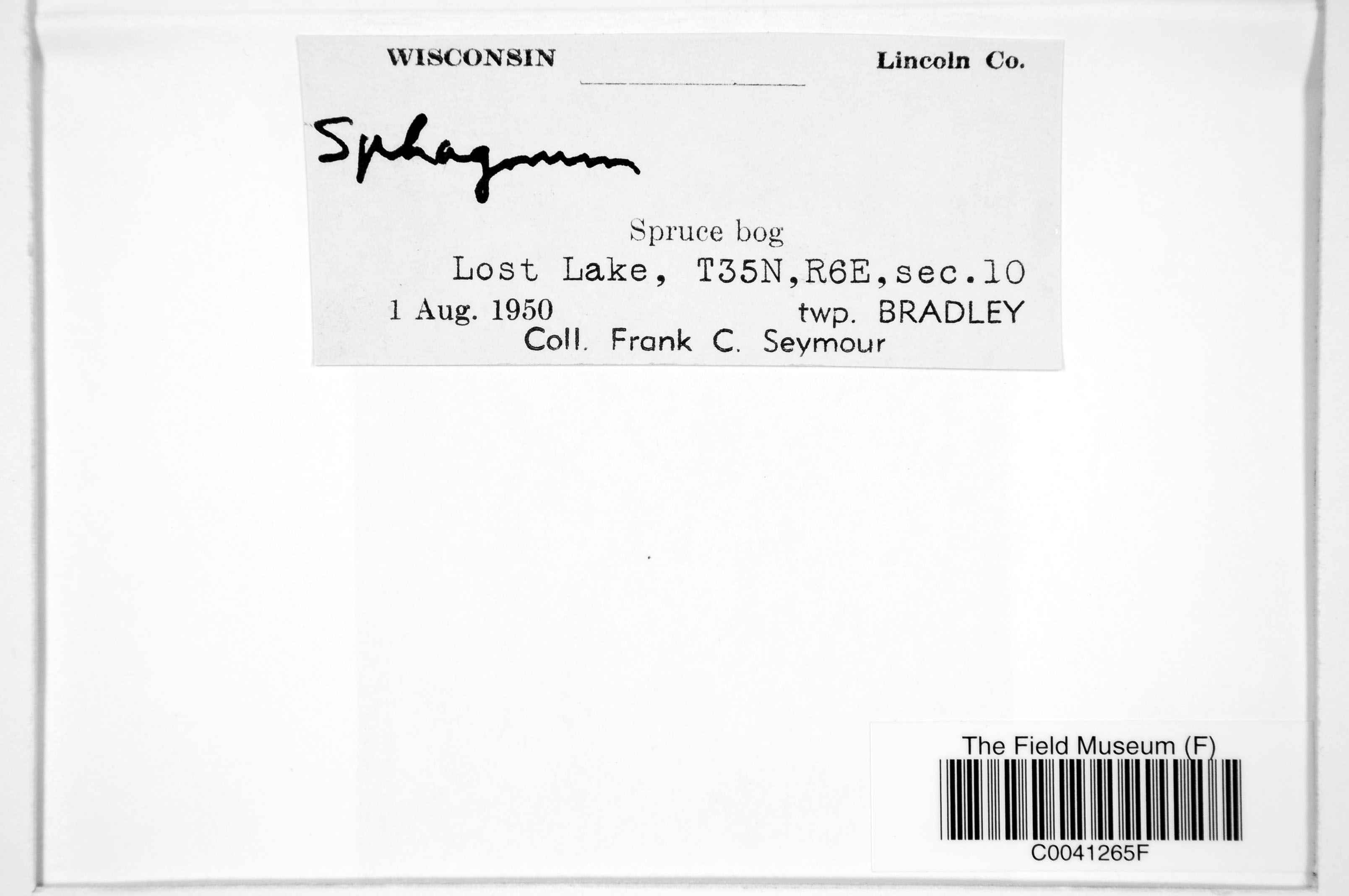
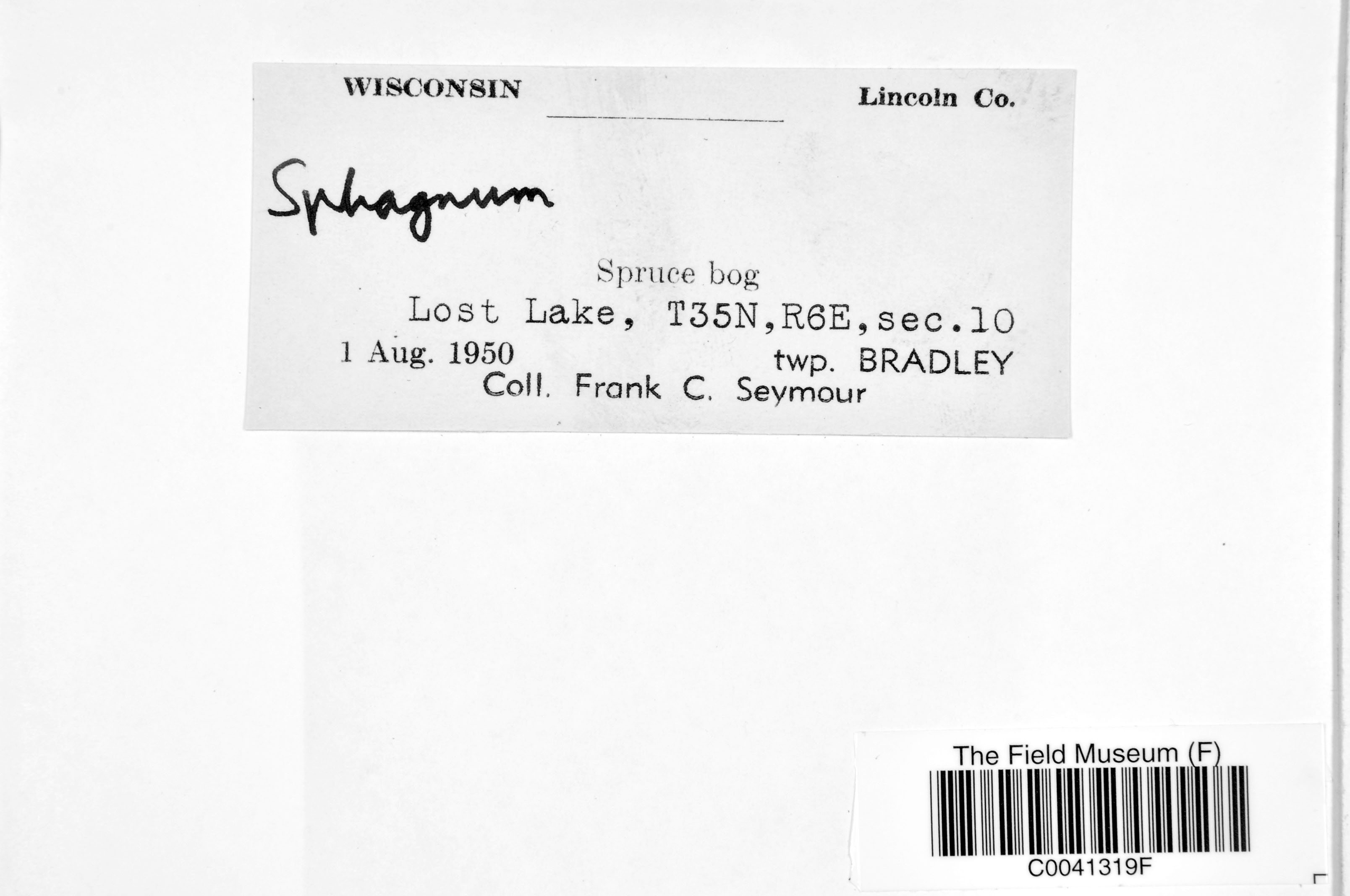
F. C. Seymour s.n.
Date collected: 1 August 1950
Barcode: C0041319F
Locality: United States of America | Wisconsin | Lincoln | Bradley
Available Media:
- 2 image files

IRN: 2375841
GUID: 5e43bd42-5122-467d-aba8-63a4e0d9a85d
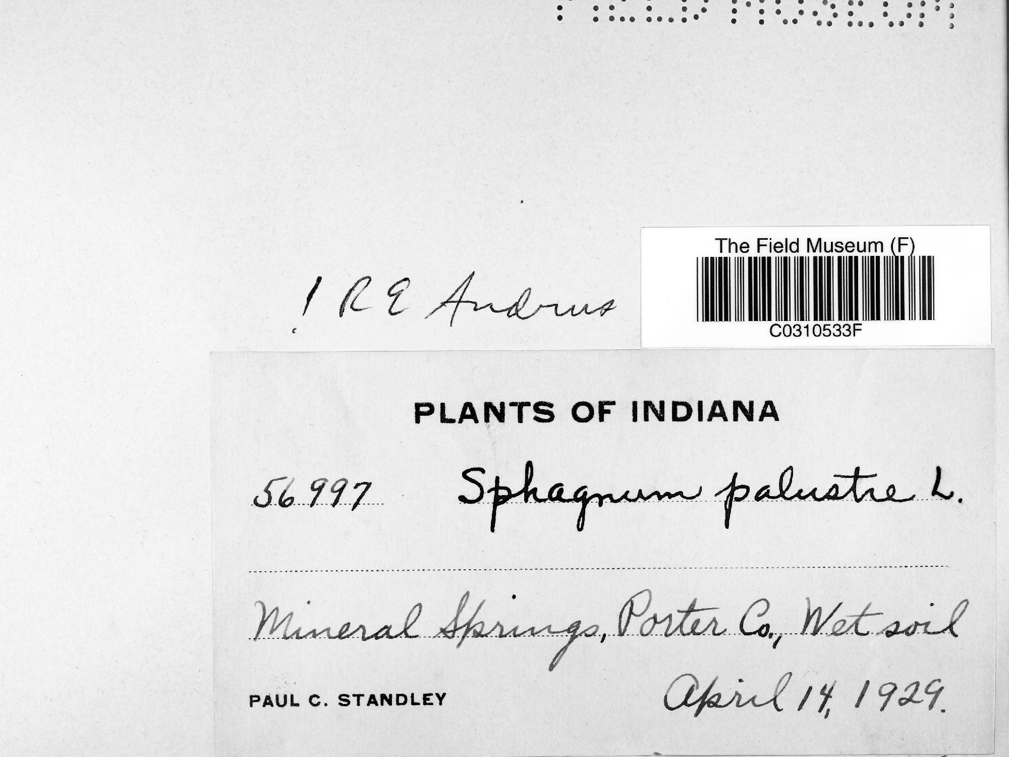
P. C. Standley 56997
Date collected: 14 April 1929
Barcode: C0310533F
Locality: United States of America | Indiana | Porter | Dune Acres
Available Media:
- 1 image file
IRN: 4069754
GUID: a3a64f82-2695-485a-854b-0f17c2ade2be
Barcode: C0310528F
Locality: United States of America | Indiana | Porter | Dune Acres
Available Media:
- 1 image file

IRN: 4069403
GUID: 4db4b259-fcf0-48ad-9ea6-796d280f4f4a
Pages

