Catalogue
Displaying 1 - 25 of 980
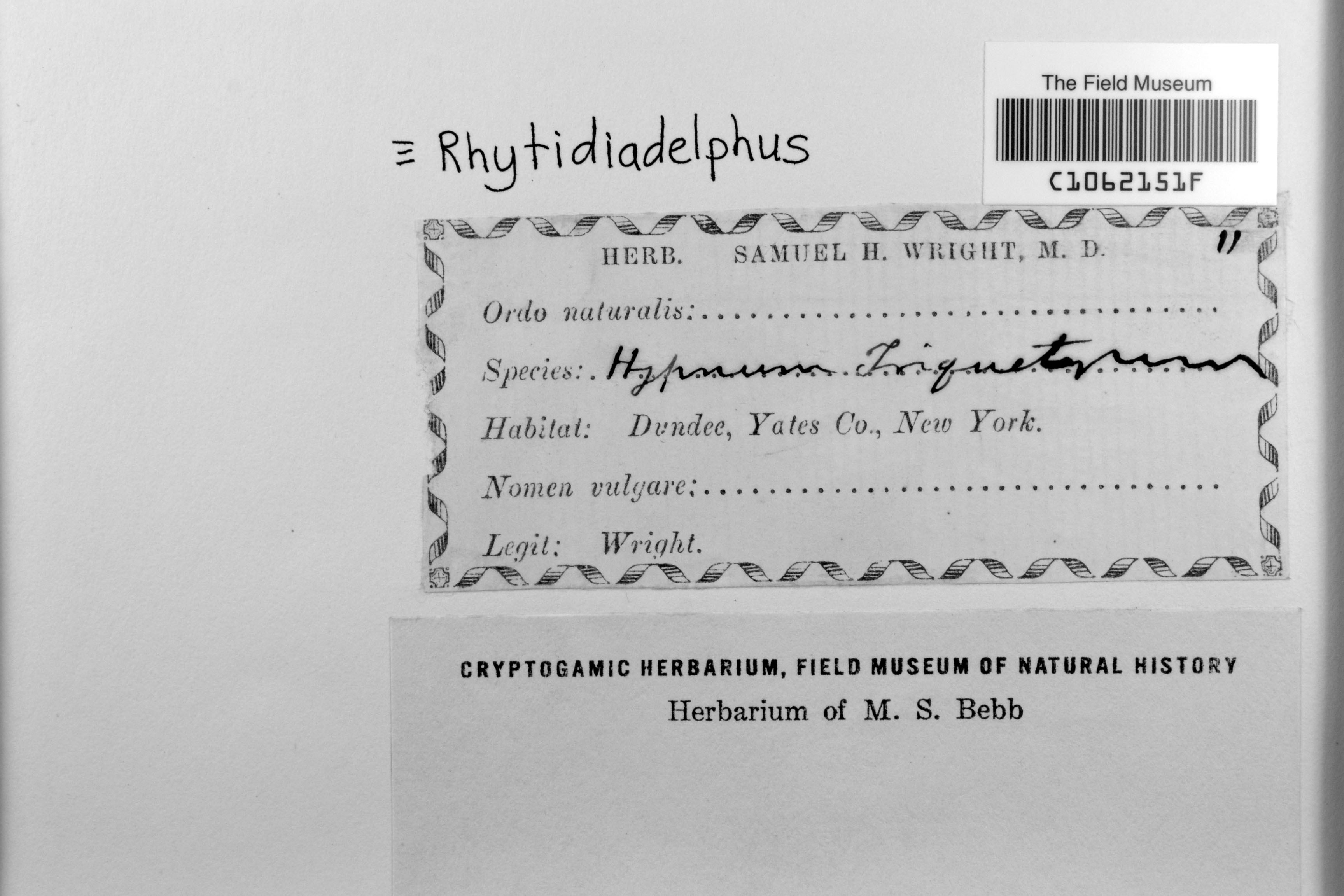
Unknown s.n.
Barcode: C1062151F
Locality: United States of America | New York | Yates | Dundee
Available Media:
 1 image file
IRN: 2340919
GUID: c5a6ea3f-9e27-497c-8743-7aa1c9480df1
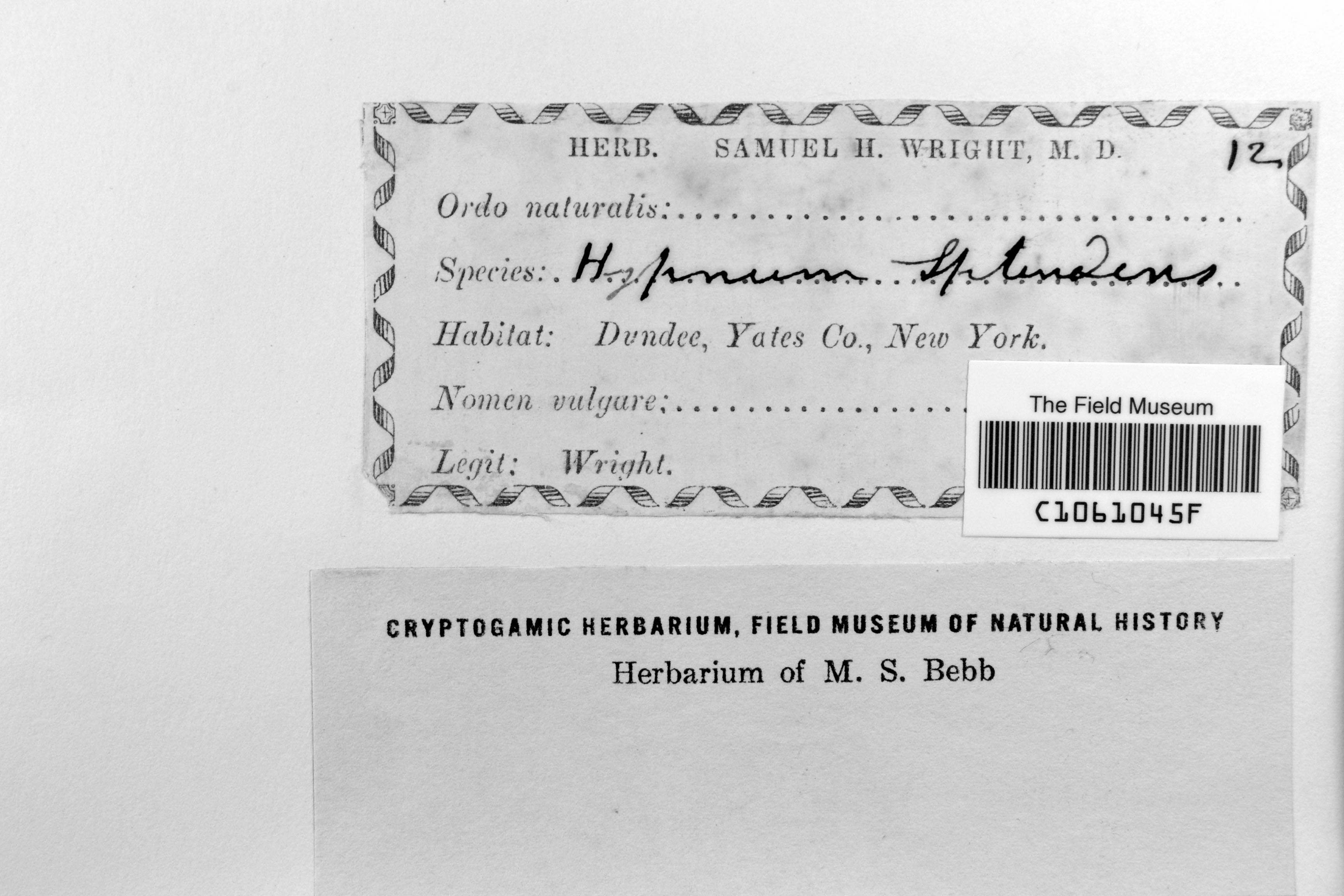
S. H. Wright 12
Barcode: C1061045F
Locality: United States of America | New York | Yates | Dundee
Available Media:
- 2 image files
IRN: 2333859
GUID: 9de80f5c-969c-4e01-9780-cde1d87996f6
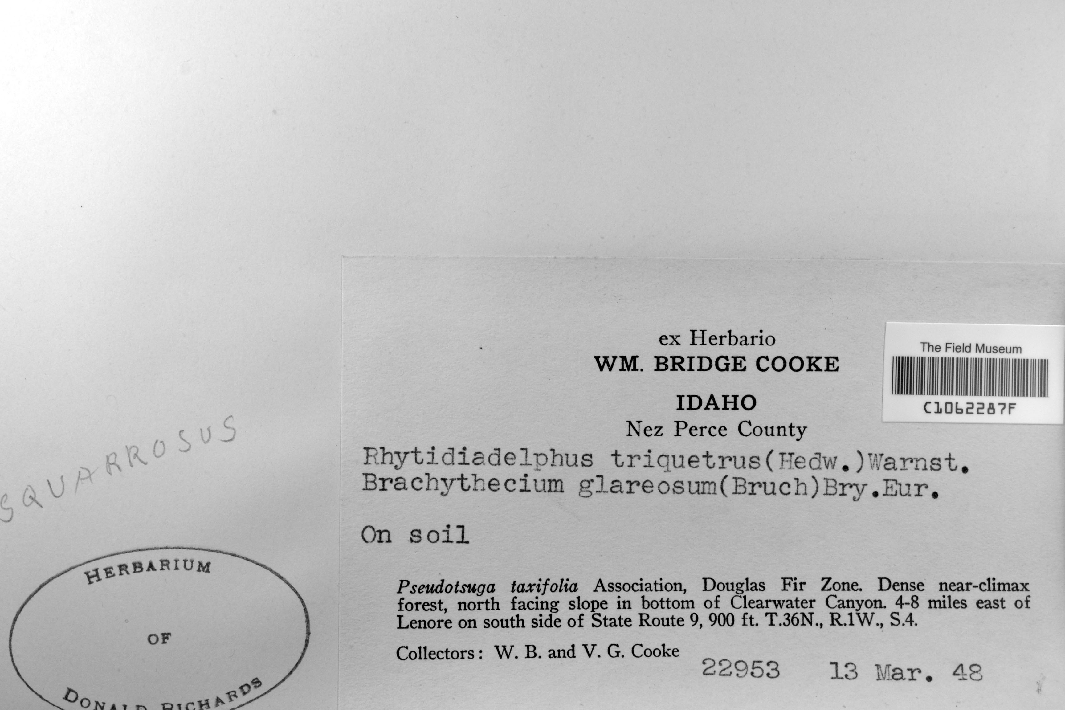
W. B. Cooke & V. G. Cooke 22953
Date collected: 13 April 1948
Barcode: C1062287F
Locality: United States of America | Idaho | Nez Perce |
Available Media:
- 1 image file
IRN: 2344486
GUID: 11af984f-9e81-4043-a067-43db6cfedc6c
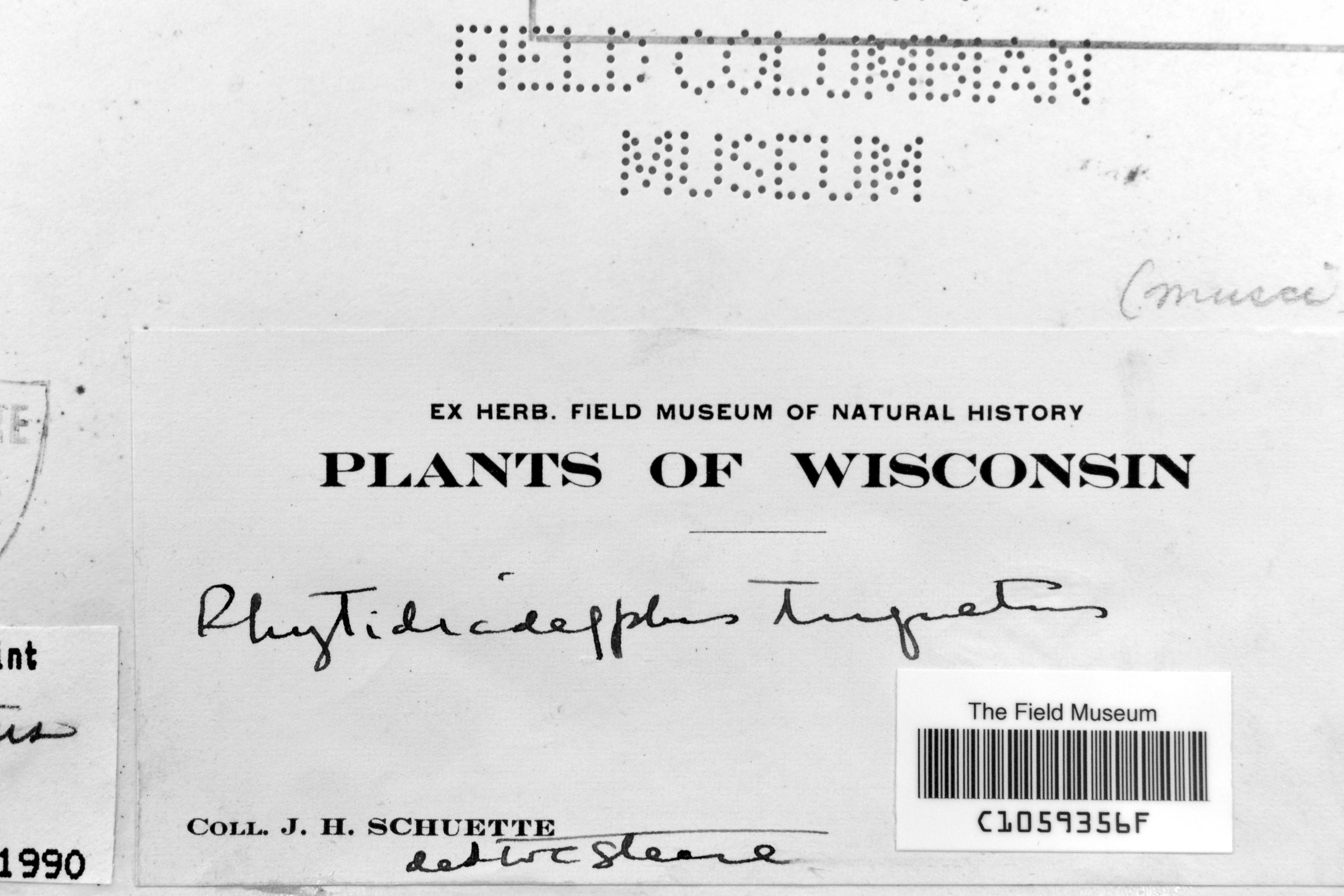
J. H. Schuette s.n.
Barcode: C1059356F
Locality: United States of America | Wisconsin | |
Available Media:
- 1 image file
IRN: 2344609
GUID: a5696b21-8ccd-49b8-b9c9-2014cd9af84d
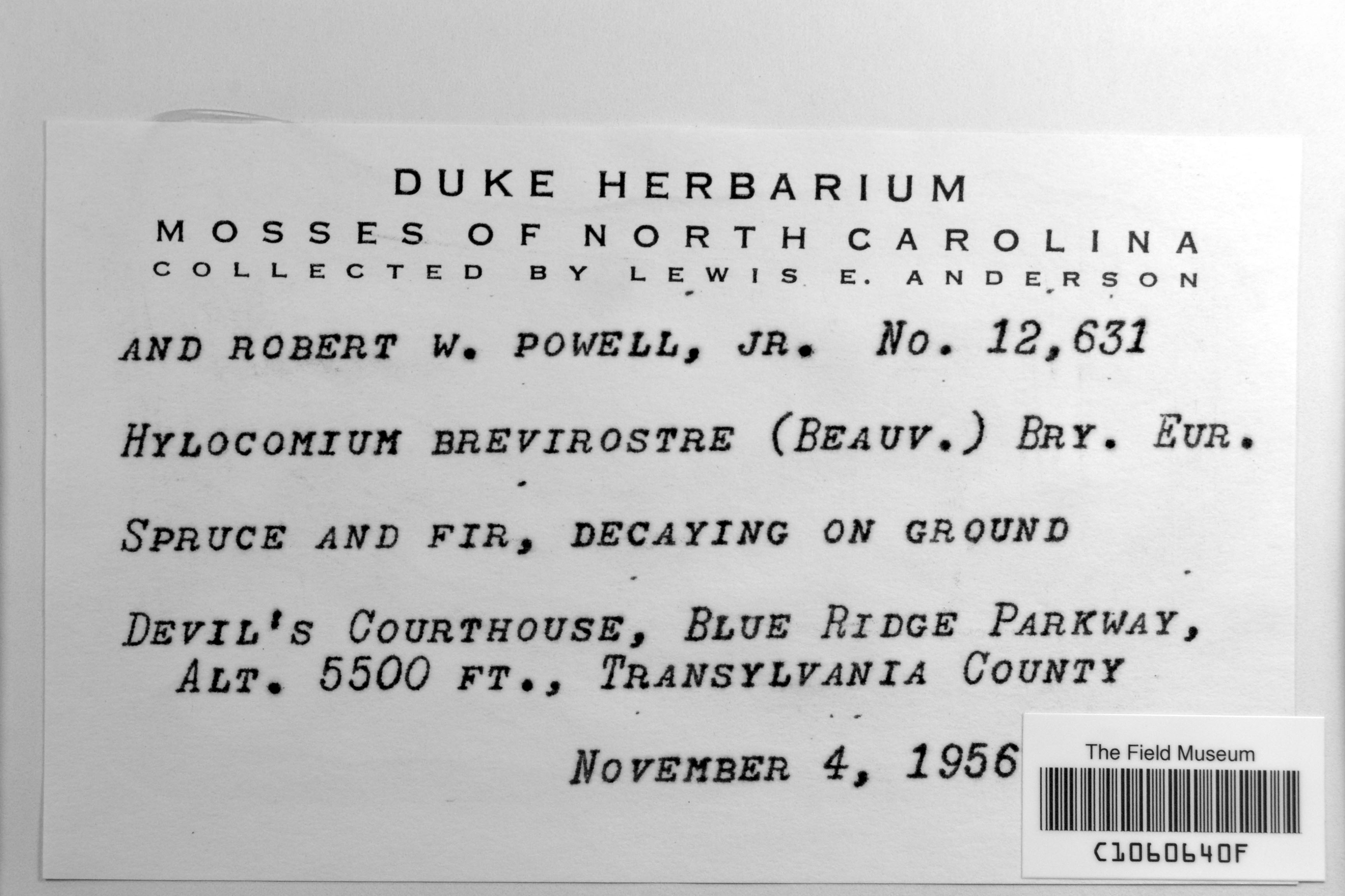
L. E. Anderson & R. W. Powell 12631
Date collected: 4 November 1956
Barcode: C1060640F
Locality: United States of America | North Carolina | Transylvania |
Available Media:
- 1 image file
IRN: 2331968
GUID: 7502db5d-40ed-4288-be68-d8da6130f8bf
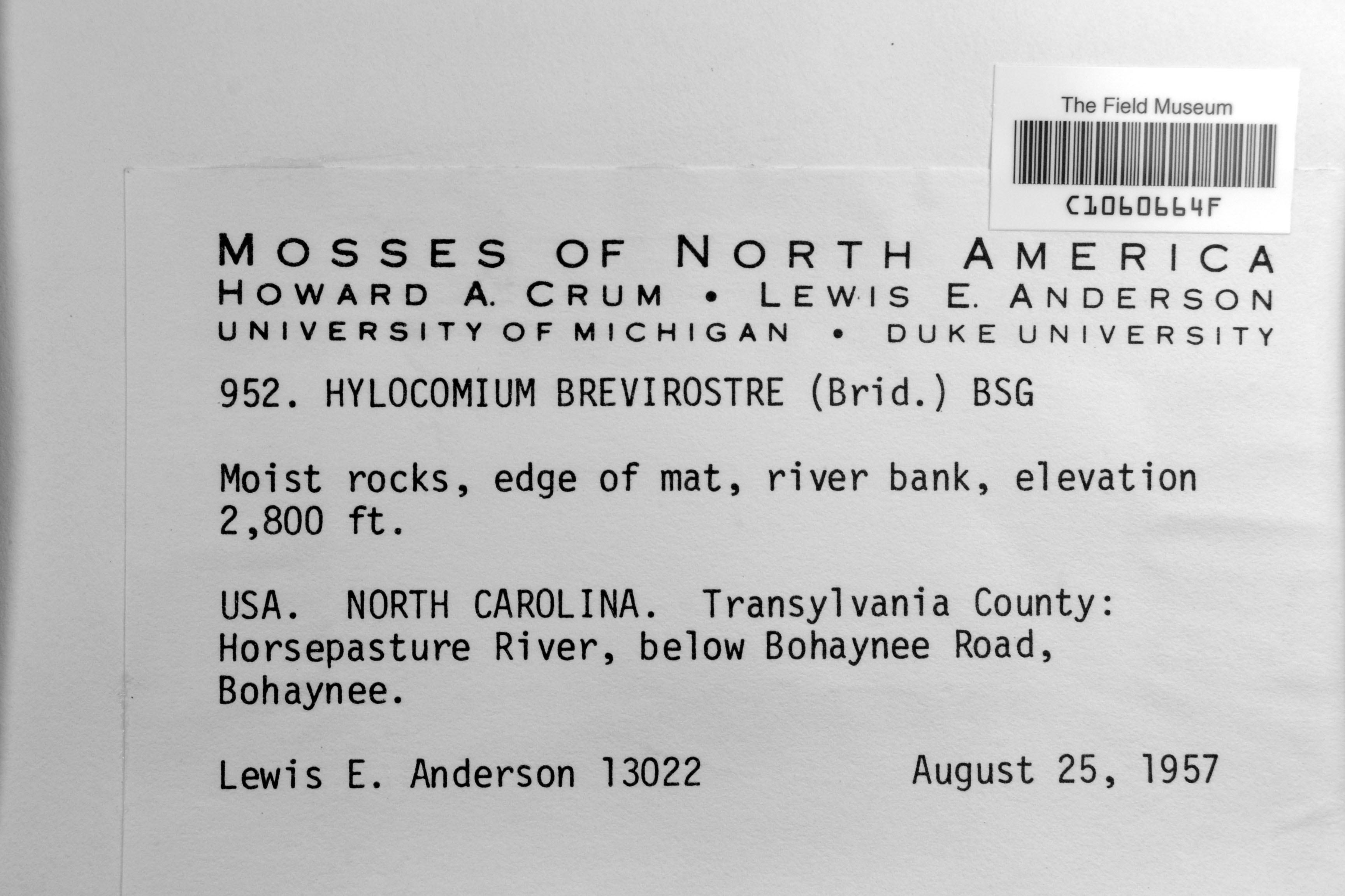
L. E. Anderson 13022
Date collected: 25 August 1957
Barcode: C1060664F
Locality: United States of America | North Carolina | Transylvania |
Available Media:
- 1 image file
IRN: 2331974
GUID: c4e0be27-def2-441c-9142-850eb605c1cd
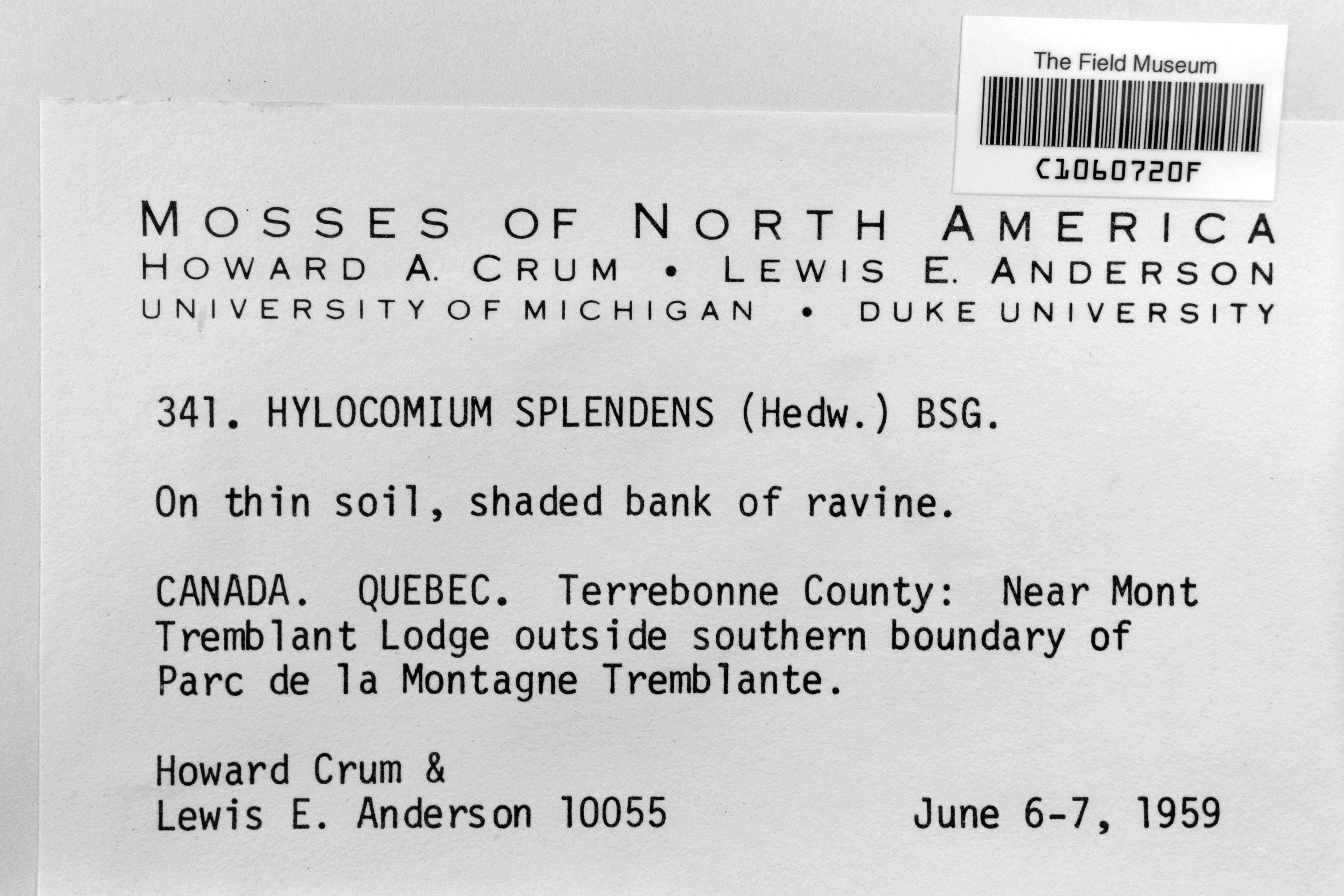
H. A. Crum & L. E. Anderson 10055
Date collected: 6 June 1959
Barcode: C1060720F
Locality: Canada | Québec | Terrebonne |
Available Media:
- 1 image file
IRN: 2332030
GUID: d0967e3f-fd3d-46dc-82ce-4a5015e74c42
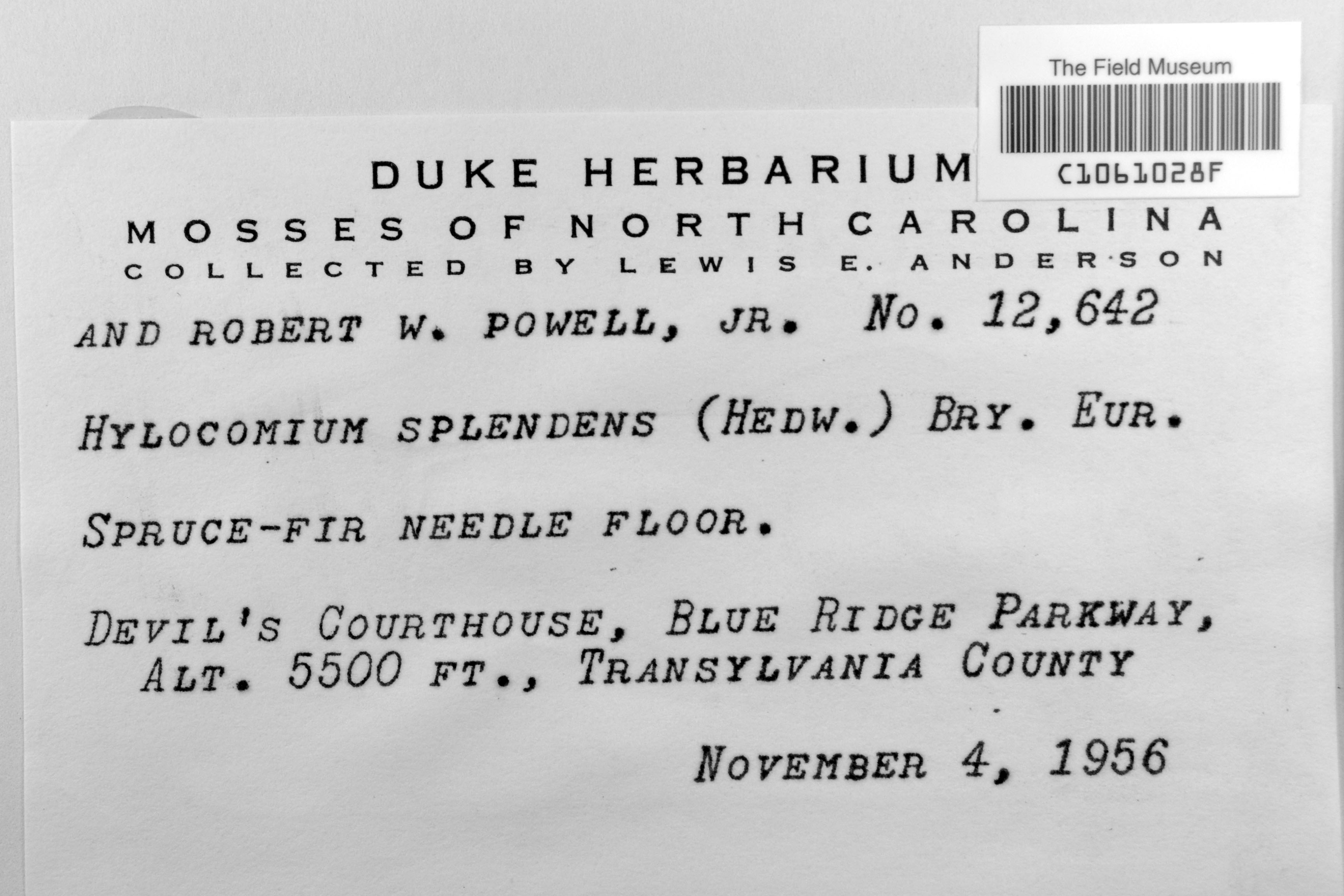
L. E. Anderson & R. W. Powell 12642
Date collected: 4 November 1956
Barcode: C1061028F
Locality: United States of America | North Carolina | Transylvania |
Available Media:
- 1 image file
IRN: 2333920
GUID: 504c68e2-9c08-483e-9e25-2c8a3d85c001
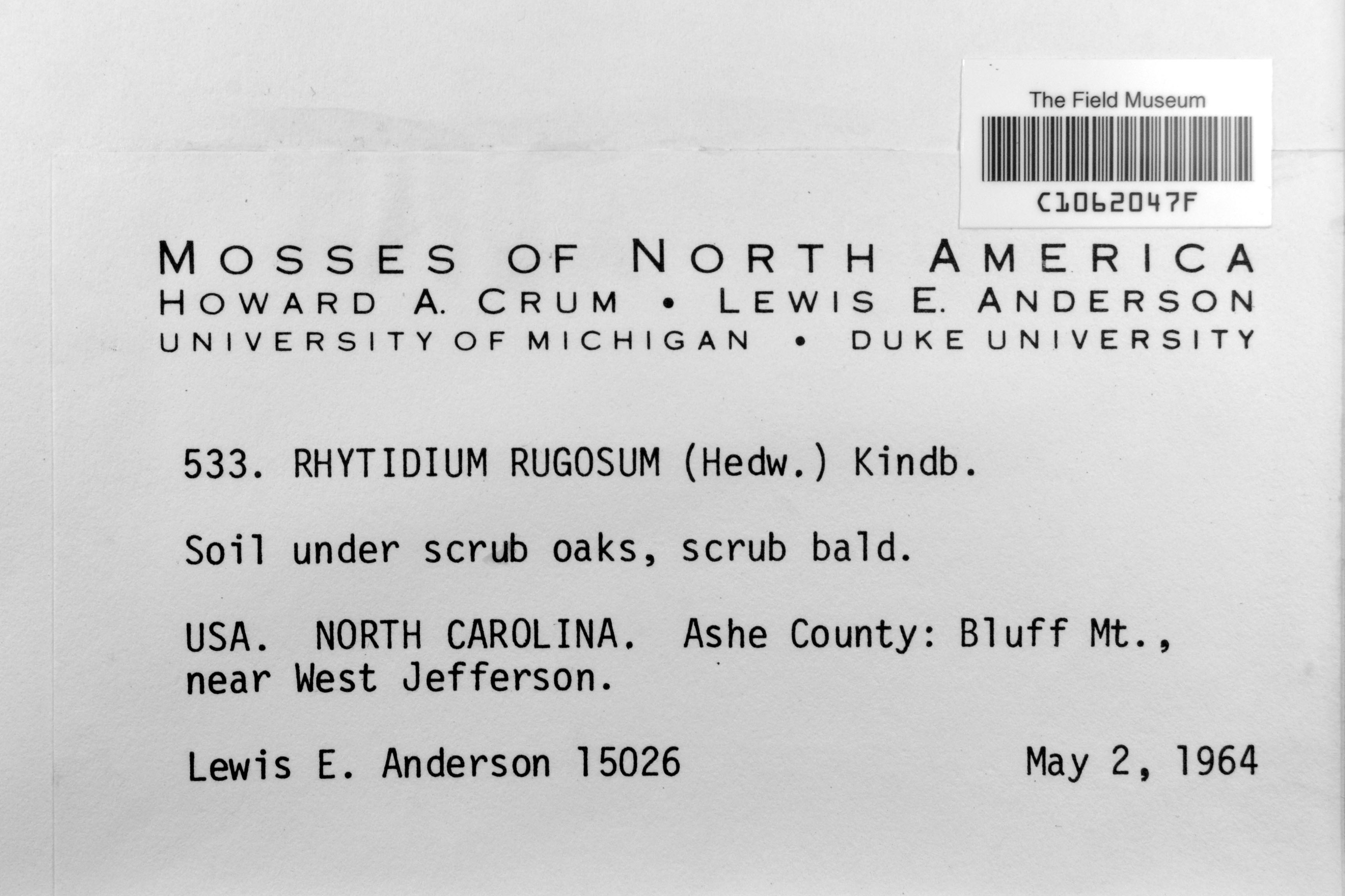
L. E. Anderson 15026
Date collected: 2 May 1964
Barcode: C1062047F
Locality: United States of America | North Carolina | Ashe |
Available Media:
- 1 image file
IRN: 2340876
GUID: 0ecbdb8f-81dc-4aaa-ad0c-ed3d038101c4
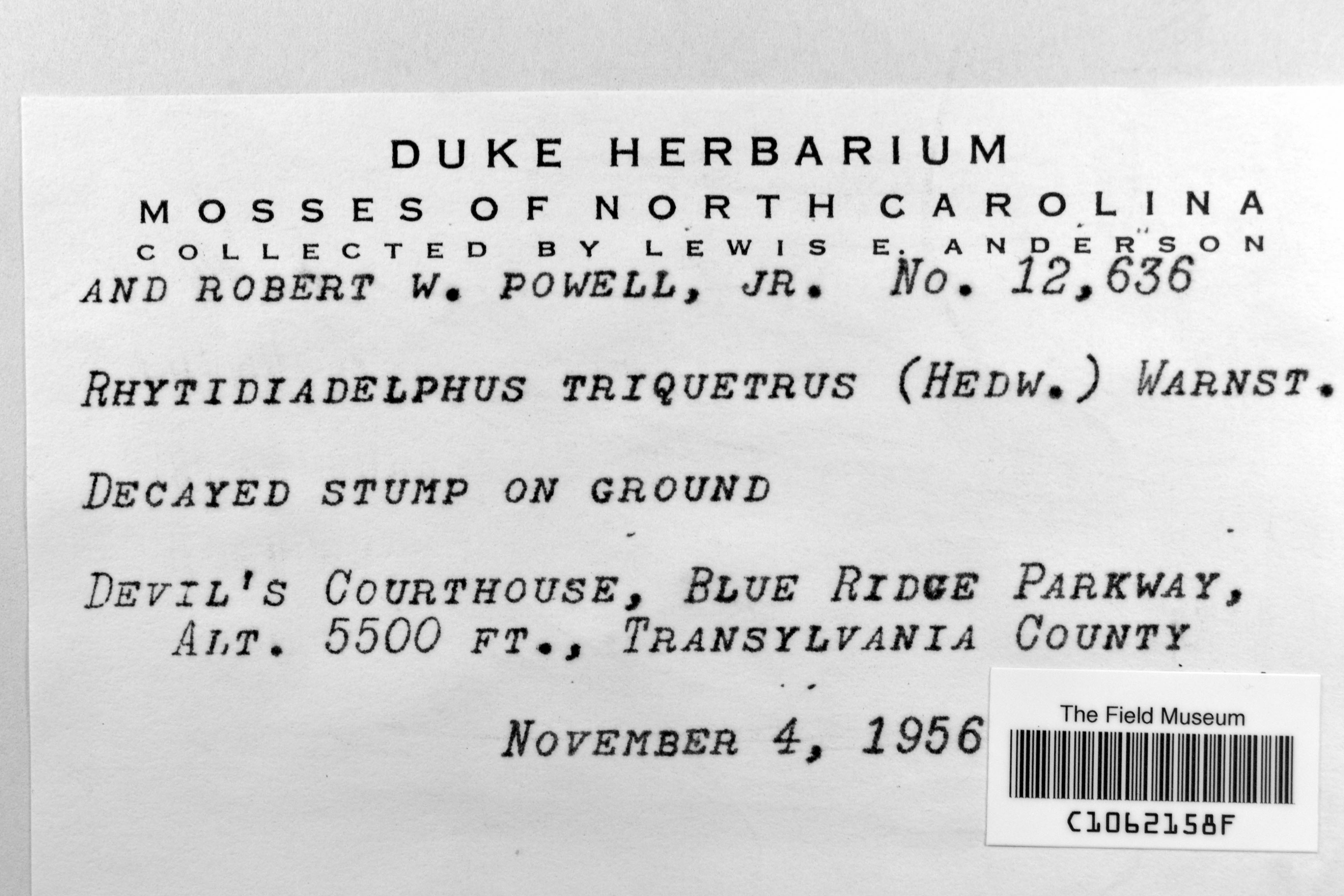
L. E. Anderson & R. W. Powell 12, 636
Date collected: 4 November 1956
Barcode: C1062158F
Locality: United States of America | North Carolina | Transylvania |
Available Media:
- 1 image file
IRN: 2340907
GUID: 6e503903-0ddf-40df-b3d3-135e1b52d05e
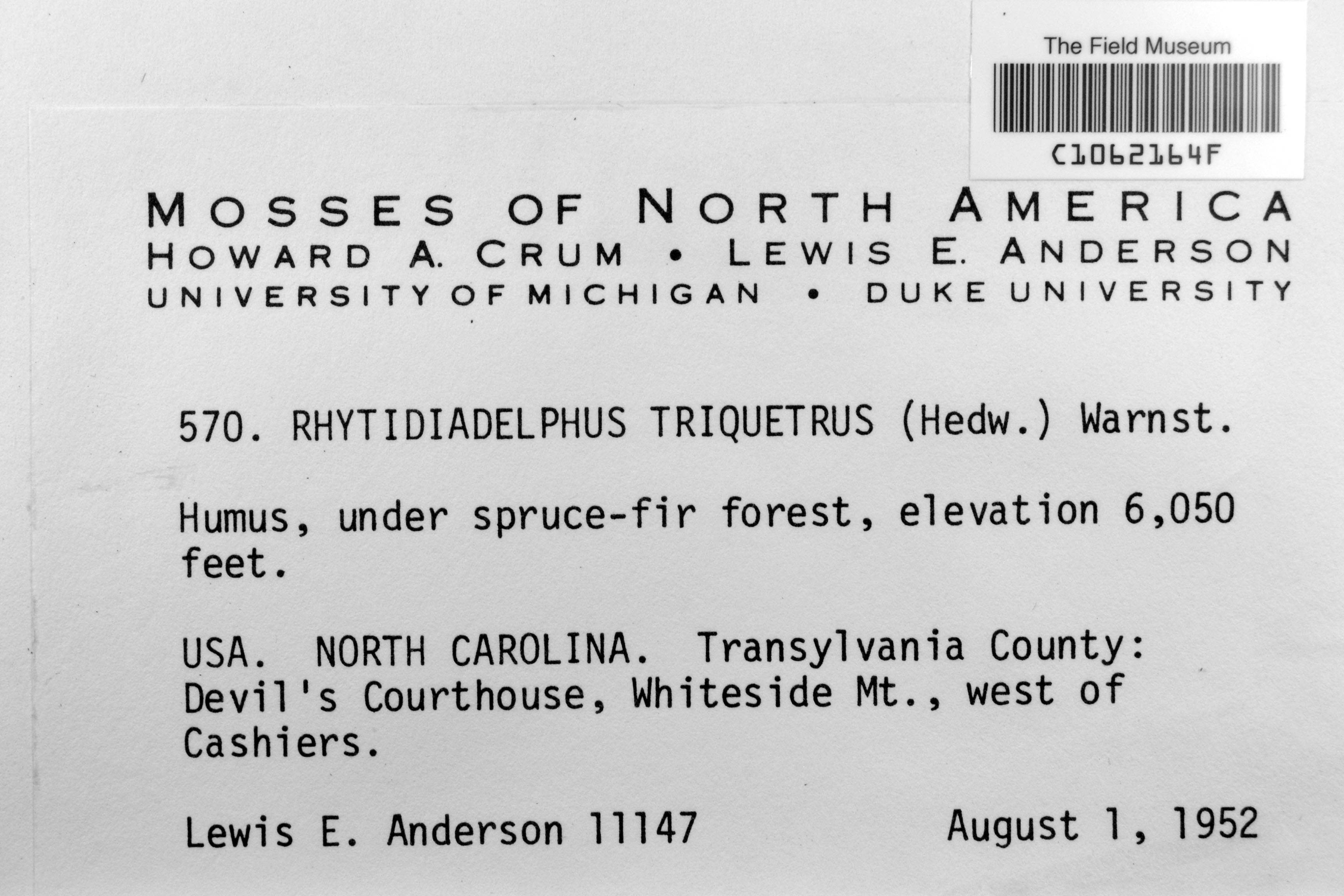
L. E. Anderson 11147
Date collected: 1 August 1952
Barcode: C1062164F
Locality: United States of America | North Carolina | Transylvania |
Available Media:
- 1 image file
IRN: 2340908
GUID: 2e842666-7dfd-457a-834d-6aa1d9e91d3d
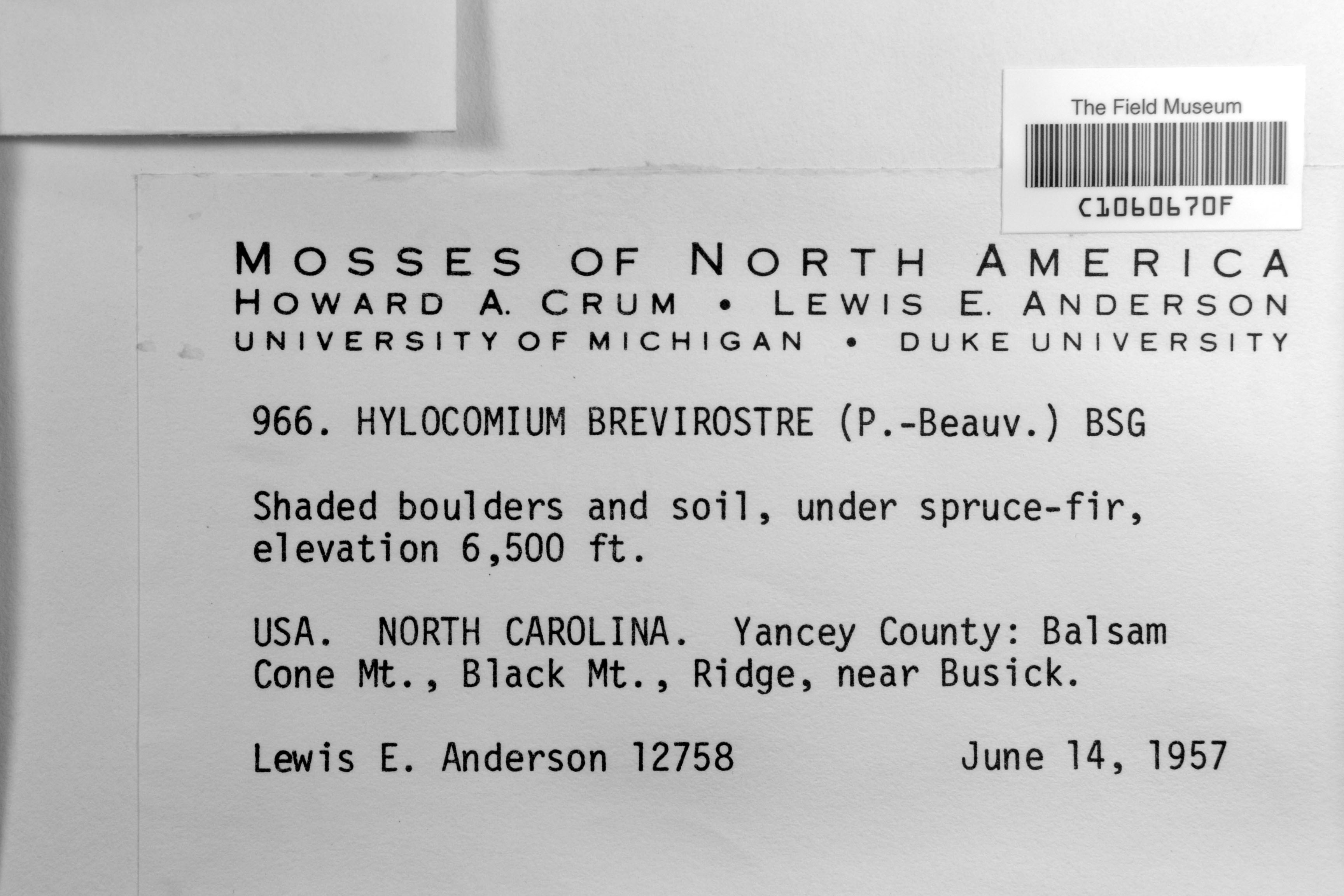
L. E. Anderson 12578
Date collected: 14 June 1957
Barcode: C1060670F
Locality: United States of America | North Carolina | Yancey |
Available Media:
- 1 image file
IRN: 2331977
GUID: 0d35a40a-9659-4c26-95fb-09ef27df7ca4
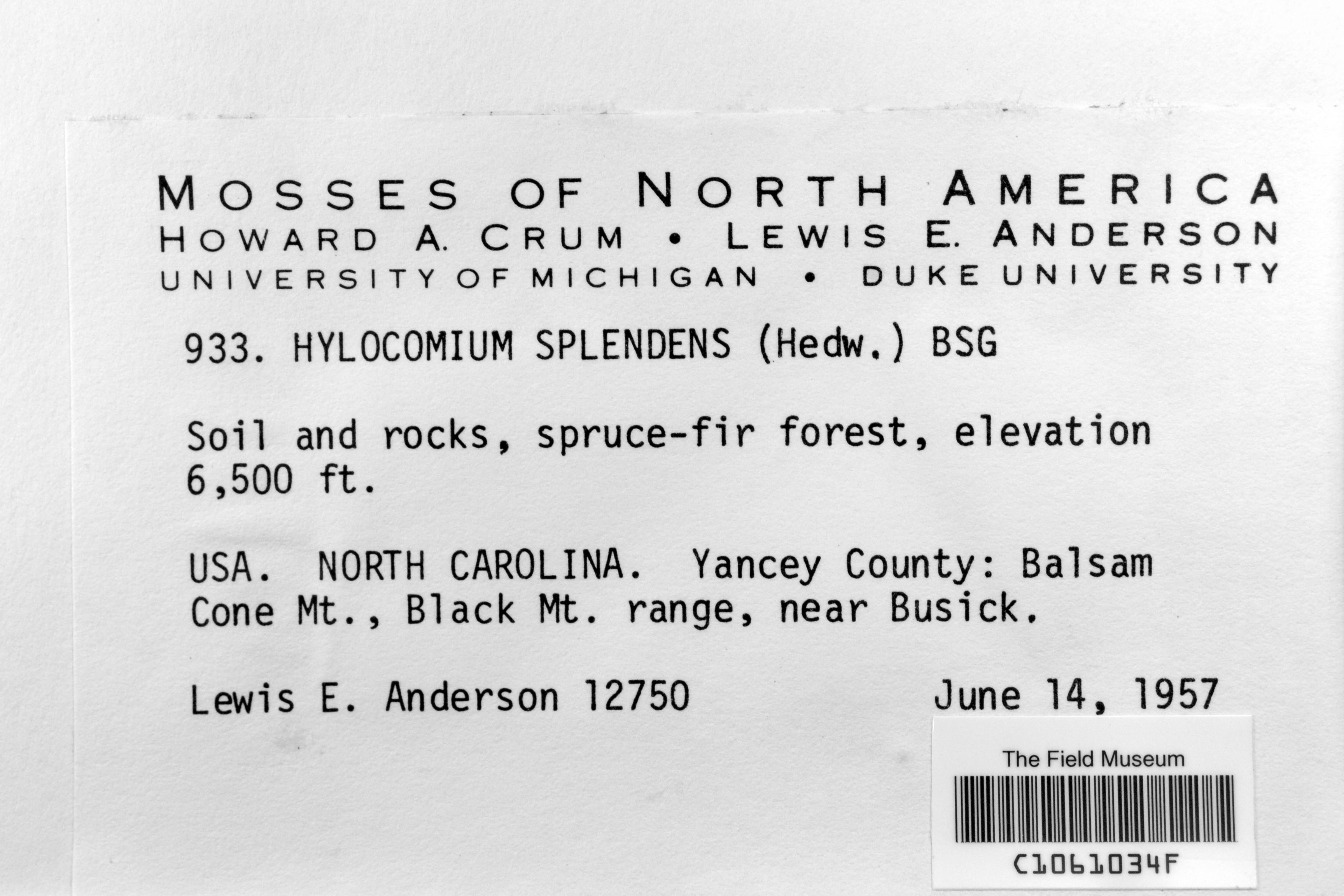
L. E. Anderson 12750
Date collected: 14 June 1957
Barcode: C1061034F
Locality: United States of America | North Carolina | Yancey |
Available Media:
- 1 image file
IRN: 2333922
GUID: dd0b9c4e-257b-4c04-9c10-633578c78946
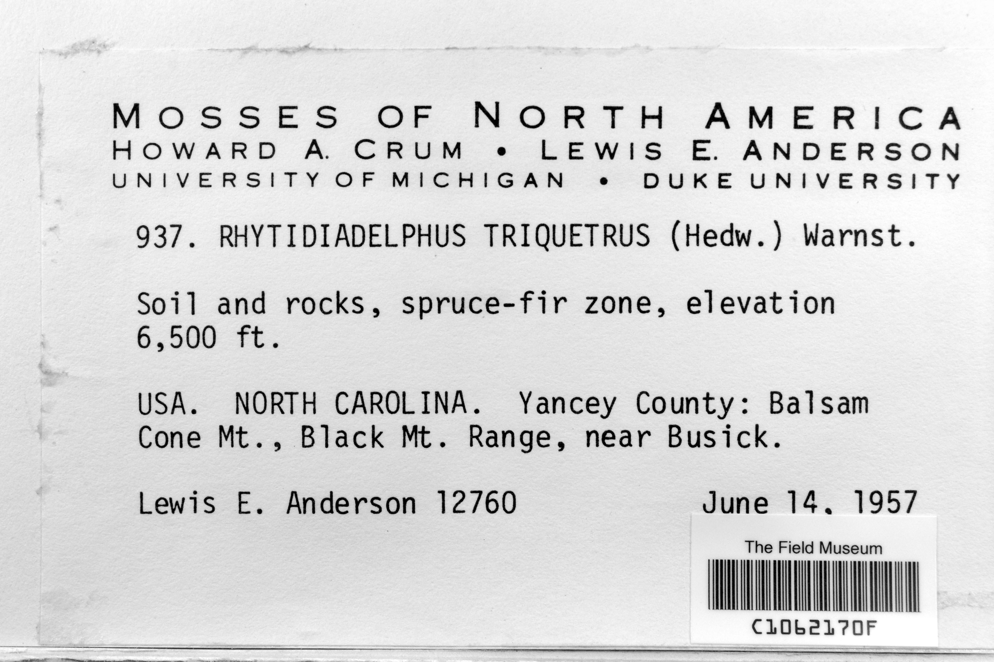
L. E. Anderson 12760
Date collected: 14 June 1957
Barcode: C1062170F
Locality: United States of America | North Carolina | Yancey |
Available Media:
- 1 image file
IRN: 2340909
GUID: 3dd7968e-f40f-4c58-8f8d-c4040fae08c1
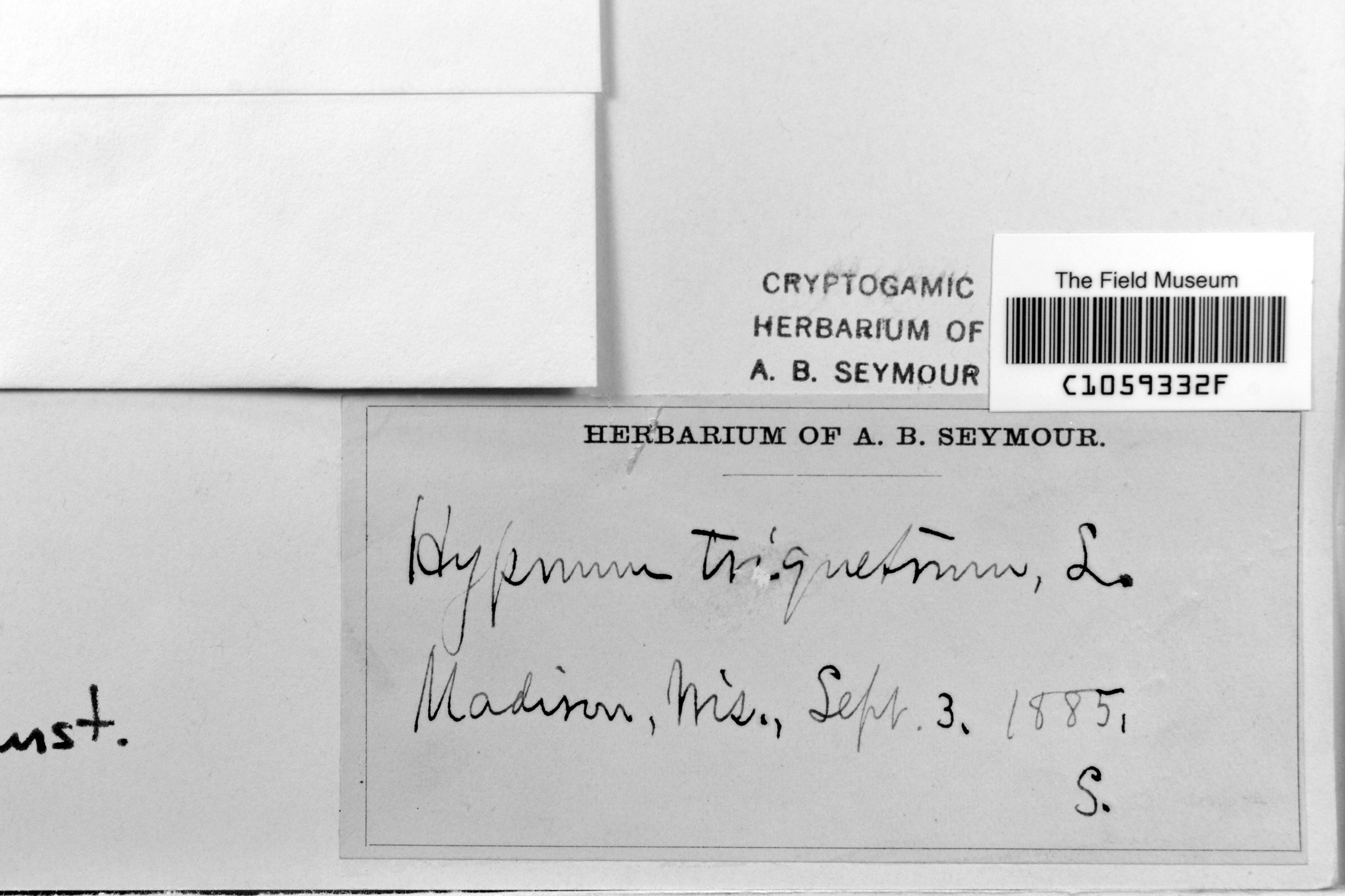
Unknown s.n.
Date collected: 3 September 1885
Barcode: C1059332F
Locality: United States of America | Wisconsin | Dane | Madison
Available Media:
- 1 image file
IRN: 2344605
GUID: 9076eb23-a7f7-449d-8af1-db85b073775c
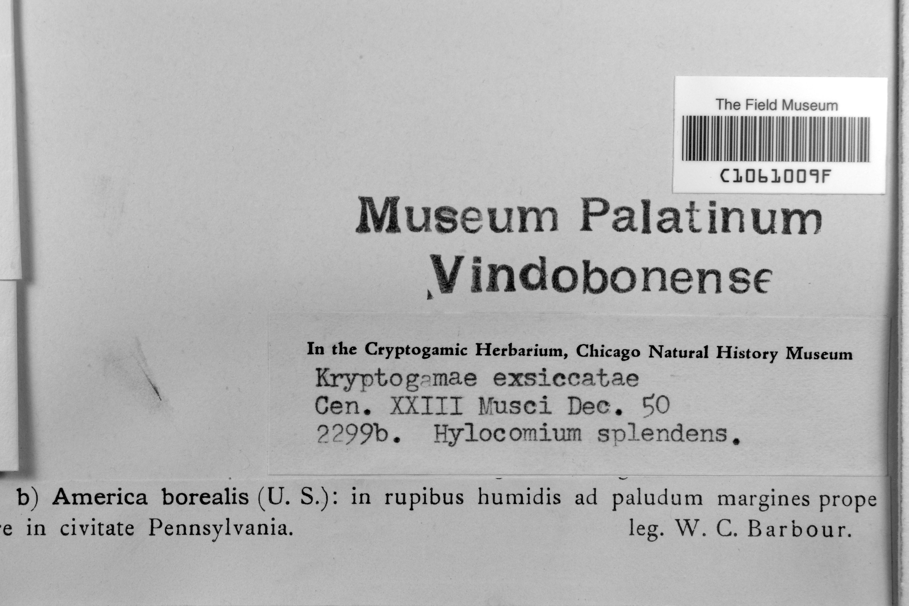
W. C. Barbour s.n.
Date collected: 30 November 1850
Barcode: C1061009F
Locality: United States of America | Pennsylvania | |
Available Media:
- 1 image file
IRN: 2333892
GUID: aad4764b-c481-4547-8f7b-ef4bd2efd65a
W. C. Barbour s.n.
Date collected: 30 November 1851
Barcode: C1060727F
Locality: United States of America | Pennsylvania | |
Available Media:
- 1 image file

IRN: 2331873
GUID: b077db56-1e5f-4c39-b961-c1bd7617c5c1
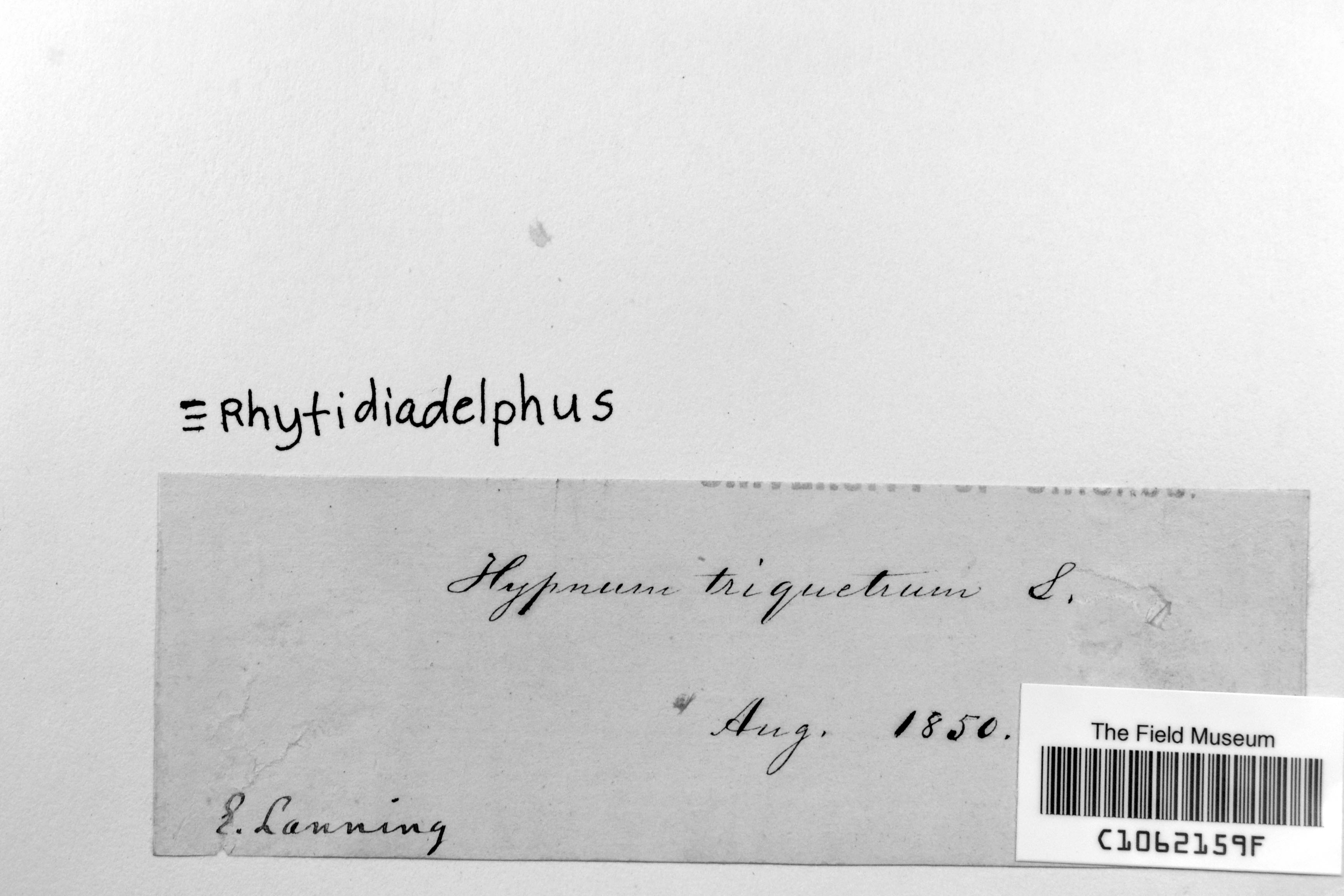
E. Lanning s.n.
Date collected: 31 July 1850
Barcode: C1062159F
Locality: | | |
Available Media:
- 1 image file
IRN: 2344589
GUID: e9f38b52-2bde-4ad0-b032-178c9e64a2fe
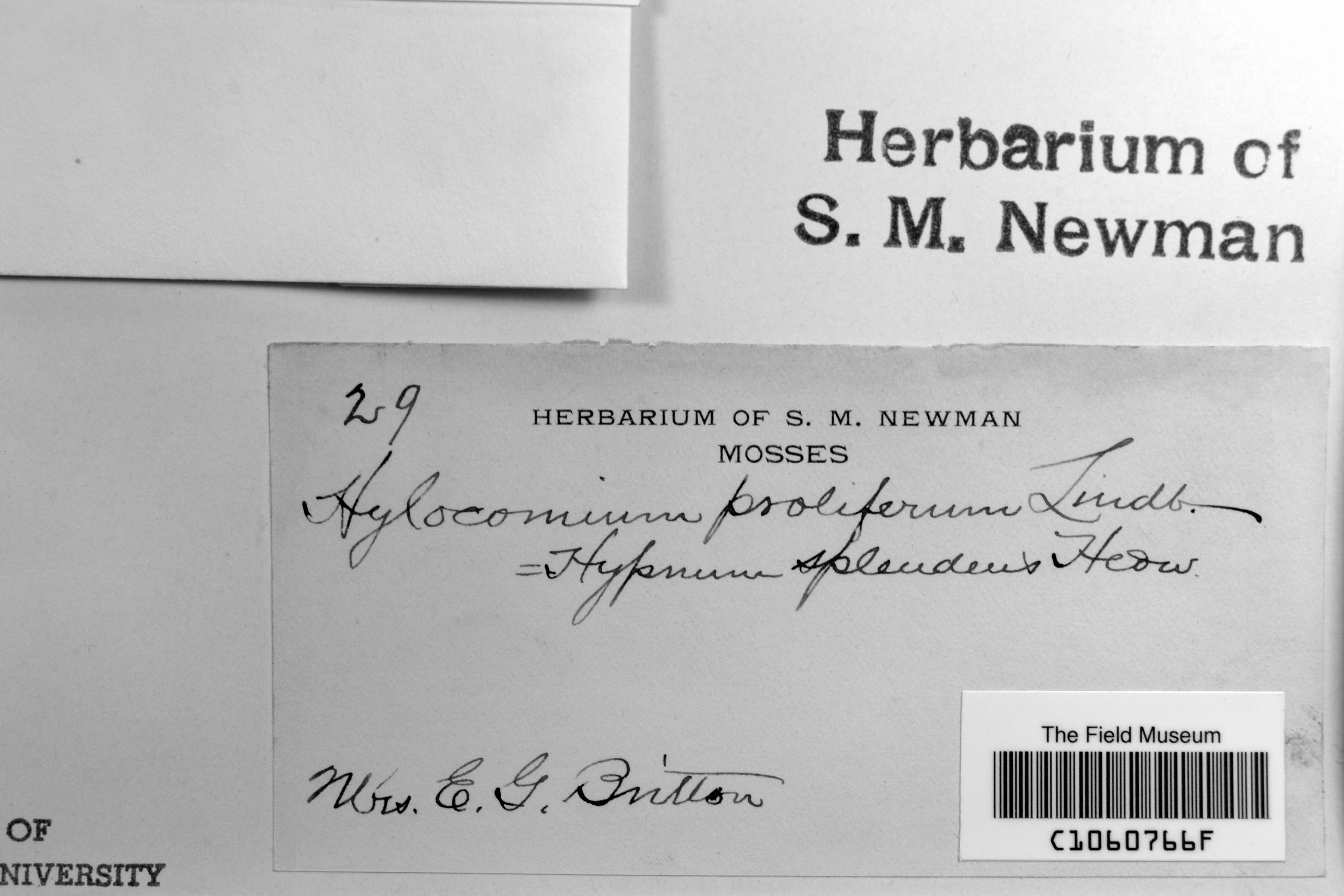
E. G. Britton 29
Barcode: C1060766F
Locality: | | |
Available Media:
- 1 image file
IRN: 2331937
GUID: 04f4ac66-fa18-4318-965f-78056870e070
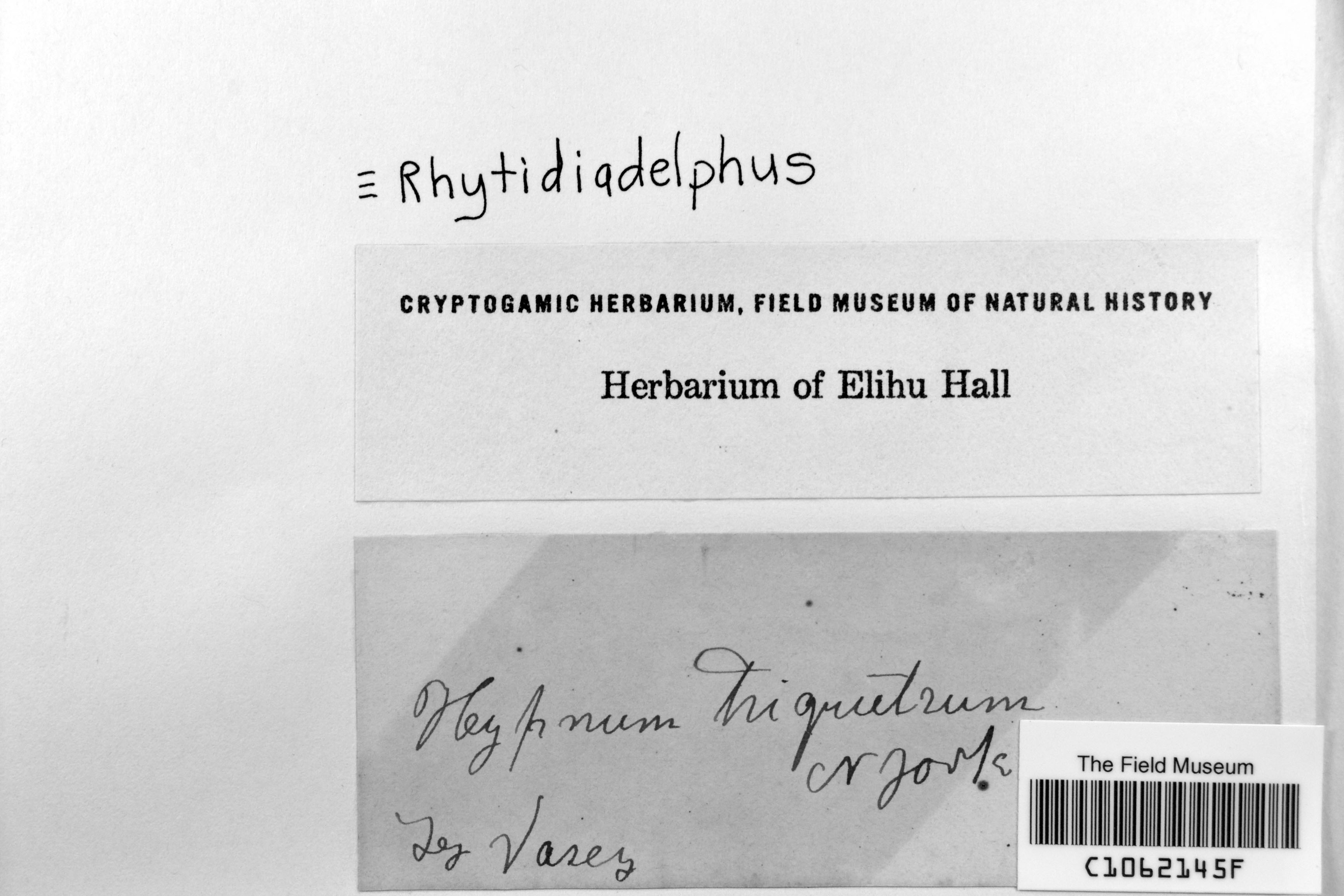
Unknown s.n.
Barcode: C1062145F
Locality: | | |
Available Media:
- 1 image file
IRN: 2340918
GUID: 73e91004-384d-4379-8d46-166cc6e2009d
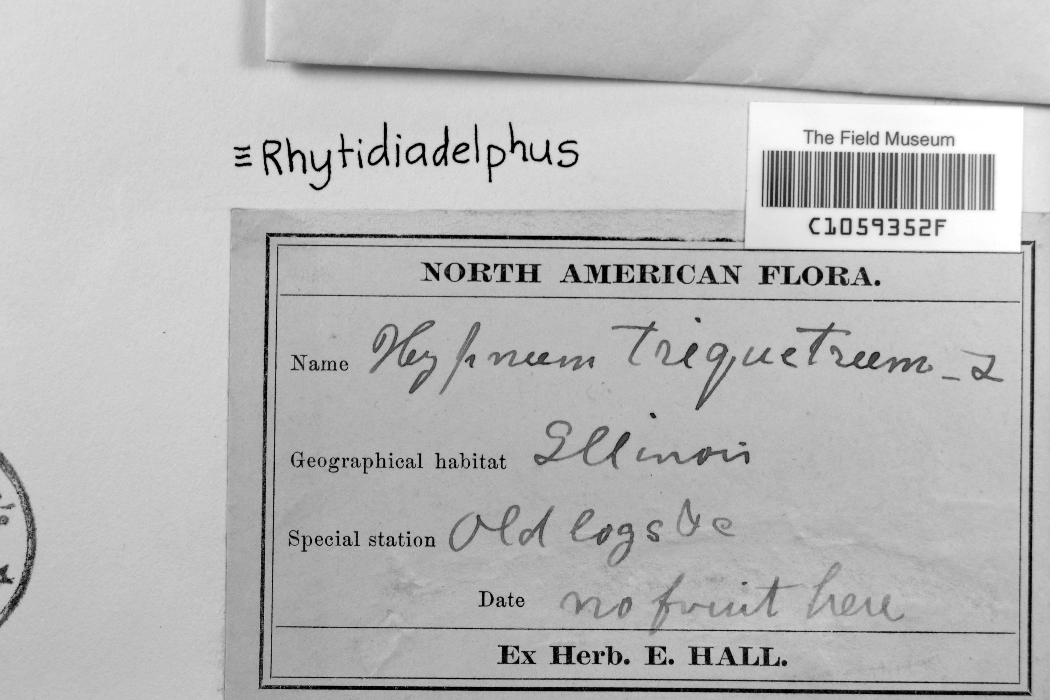
Unknown s.n.
Barcode: C1059352F
Locality: | | |
Available Media:
- 1 image file
IRN: 2344632
GUID: 5dd79504-2f3b-419a-a5da-930df3924340
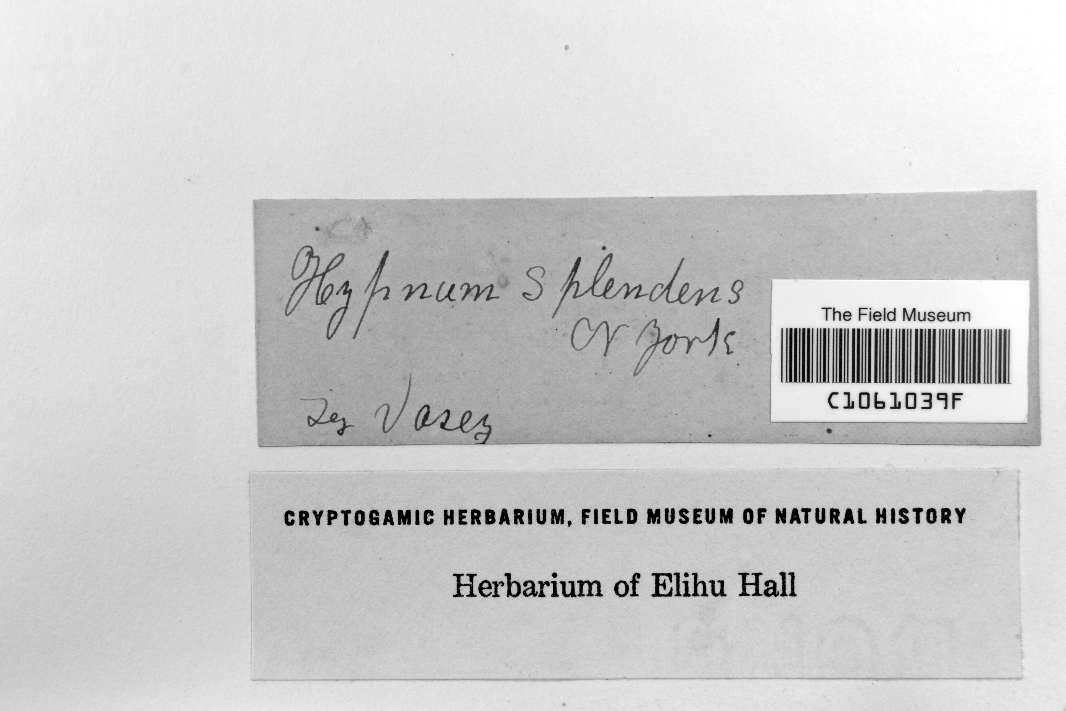
G. R. Vasey s.n.
Barcode: C1061039F
Locality: | | |
Available Media:
- 2 image files
IRN: 2333858
GUID: 5cede794-2bad-4a54-b162-c3b9fbd9b25c
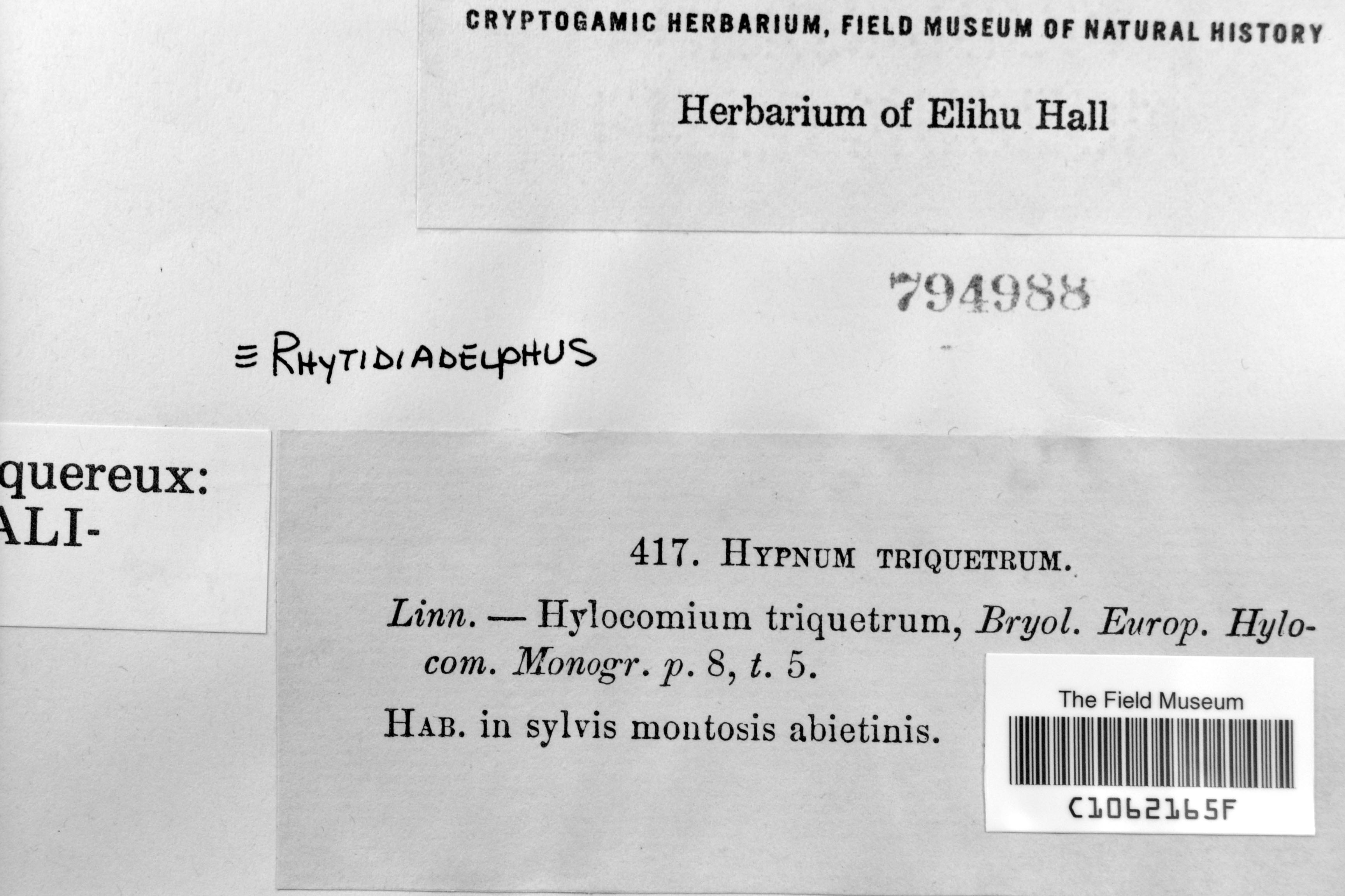
Unknown 794988
Barcode: C1062165F
Locality: | | |
Available Media:
- 1 image file
IRN: 2344590
GUID: 7e85bd91-276c-4fdf-ac9b-c9ff6c14af2d
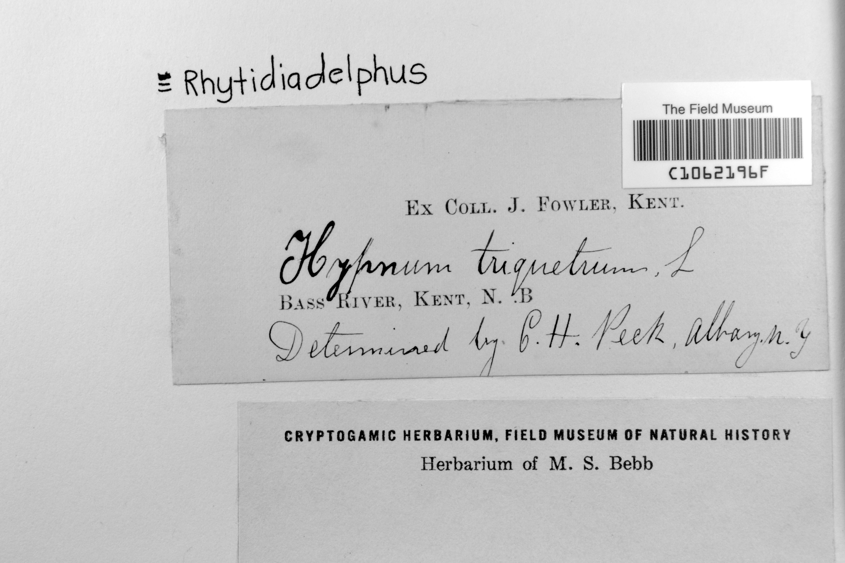
J. Fowler s.n.
Barcode: C1062196F
Locality: | | |
Available Media:
- 1 image file
IRN: 2344583
GUID: 33b04f3c-7951-495b-bb66-79b4382da7da
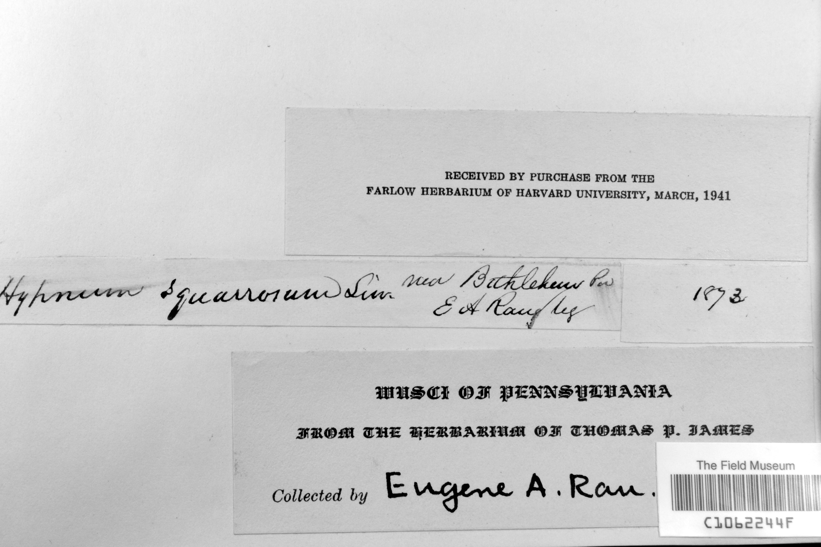
E. A. Rau s.n.
Barcode: C1062244F
Locality: | | |
Available Media:
- 2 image files
IRN: 2344501
GUID: 61533a5b-6a56-47af-8e18-493921cf81c4
Pages

