Catalogue
Displaying 138176 - 138200 of 139788
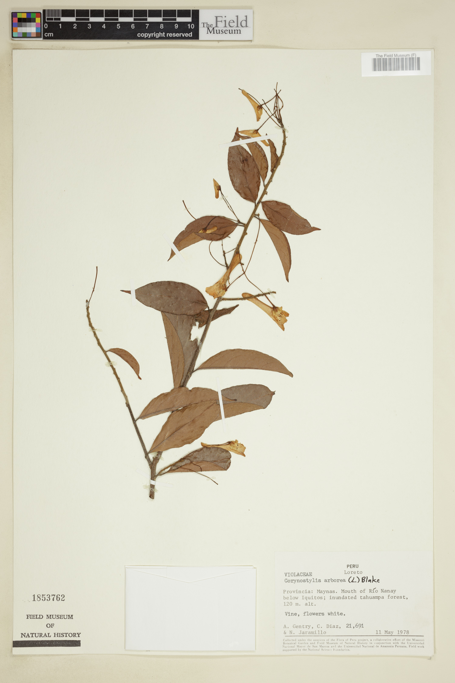
Barcode: V0333956F
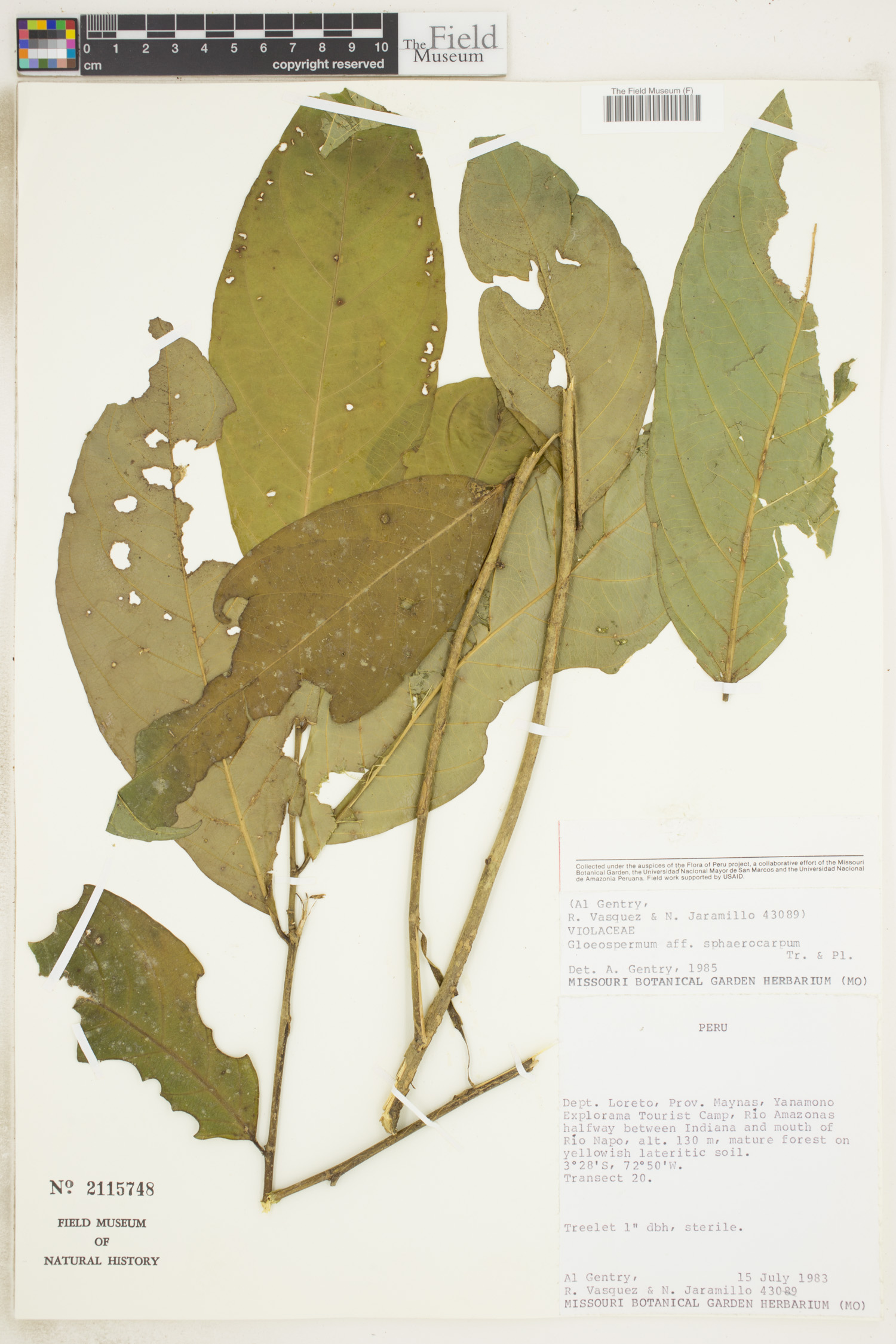
Locality: Perú | | |
Available Media:
 1 image file
IRN: 3129678
GUID: 516804b1-eb9c-4bed-9f11-489b36f2f624
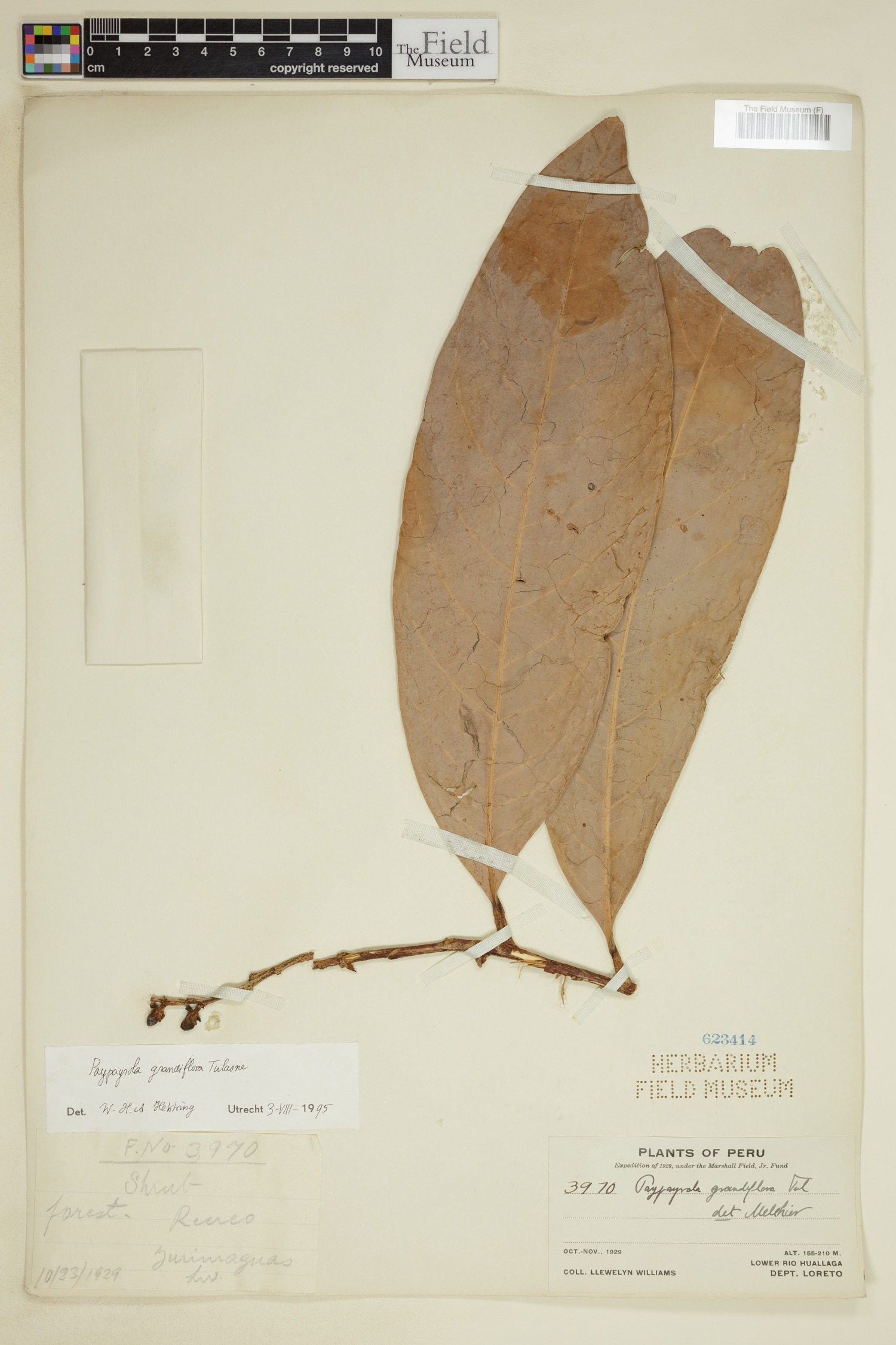
Barcode: V0336205F
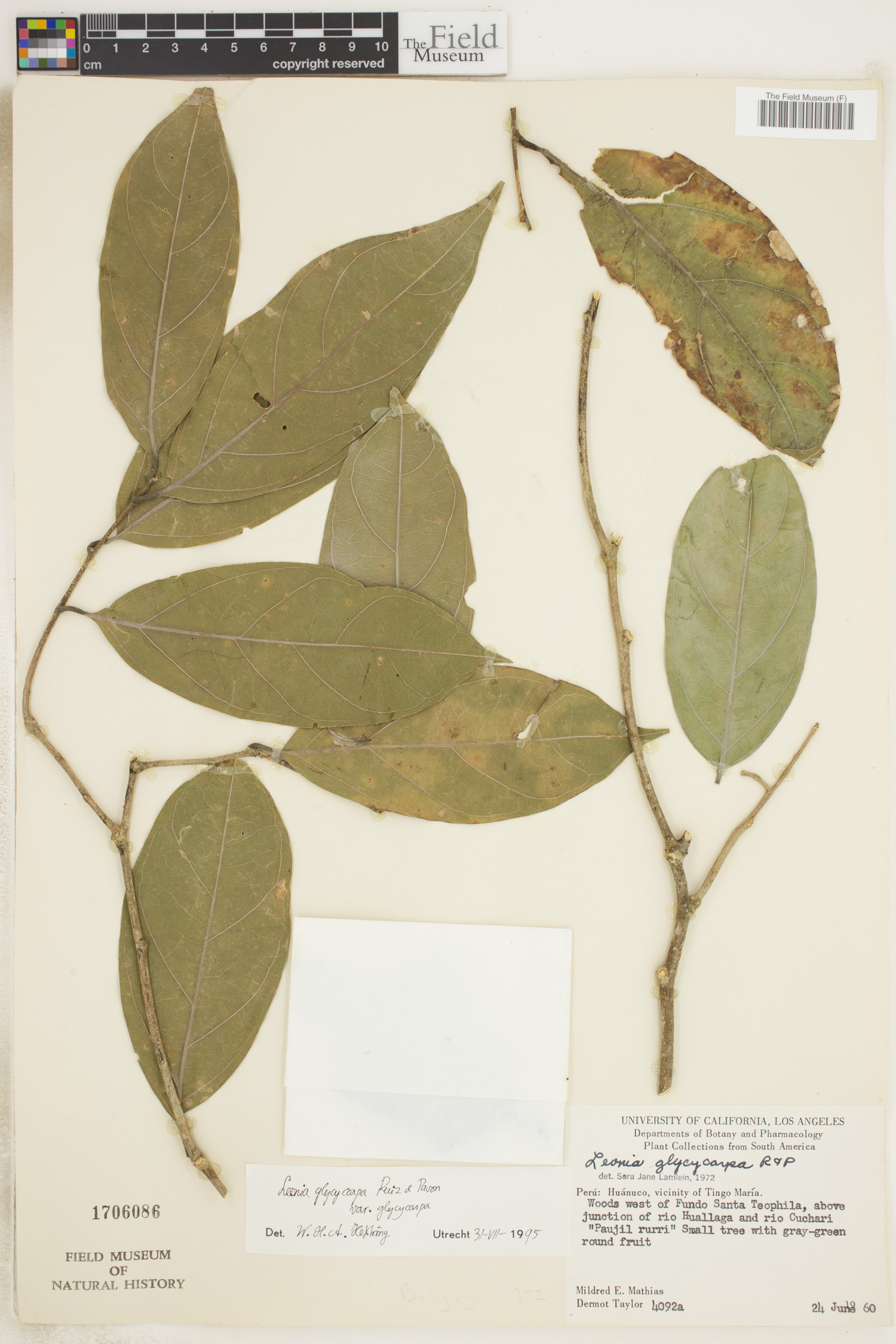
Locality: Perú | | |
Available Media:
- 1 image file
IRN: 3121600
GUID: eb297555-cf68-4768-9276-7a94773ea5e1
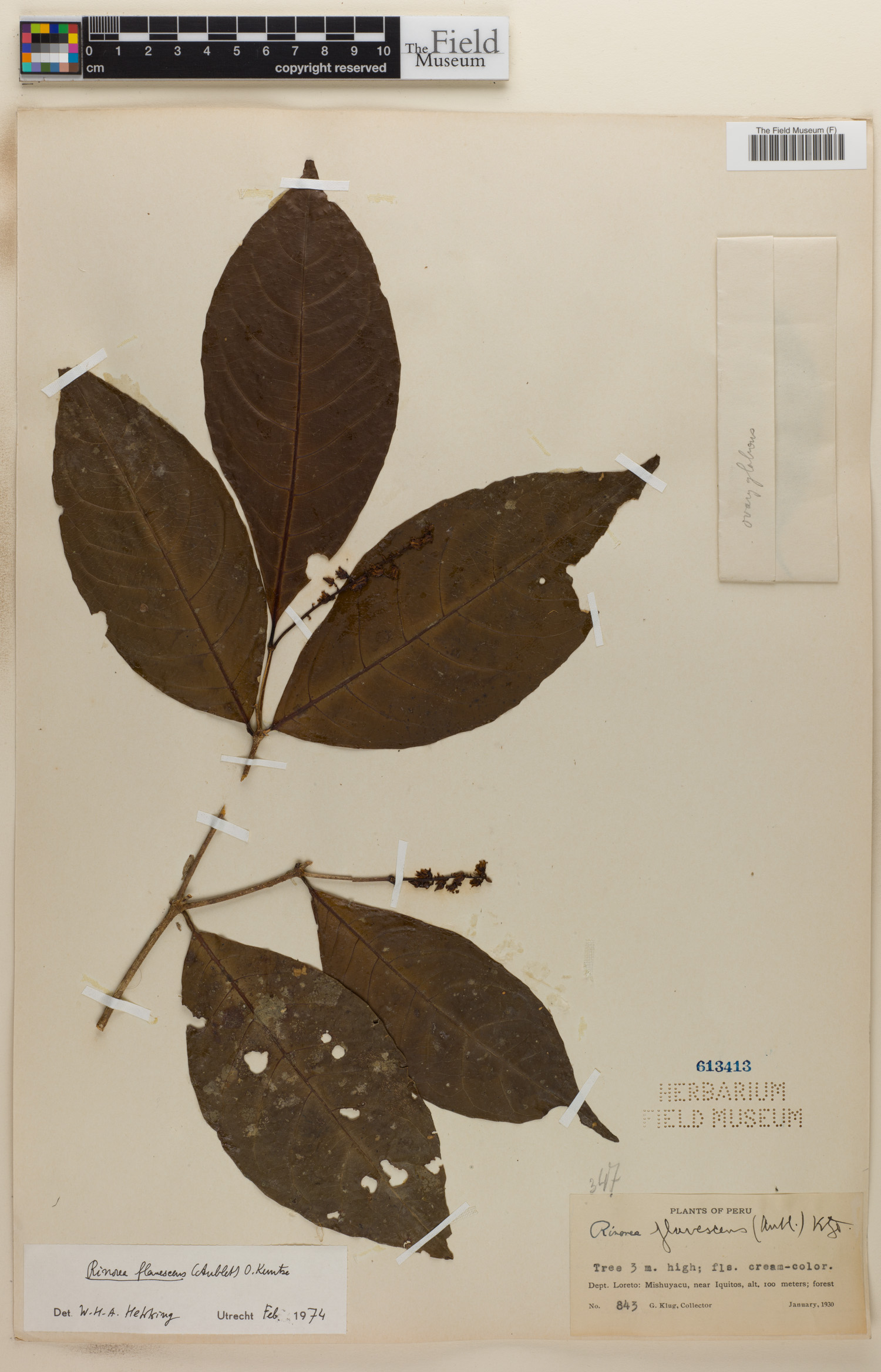
Barcode: V0334252F
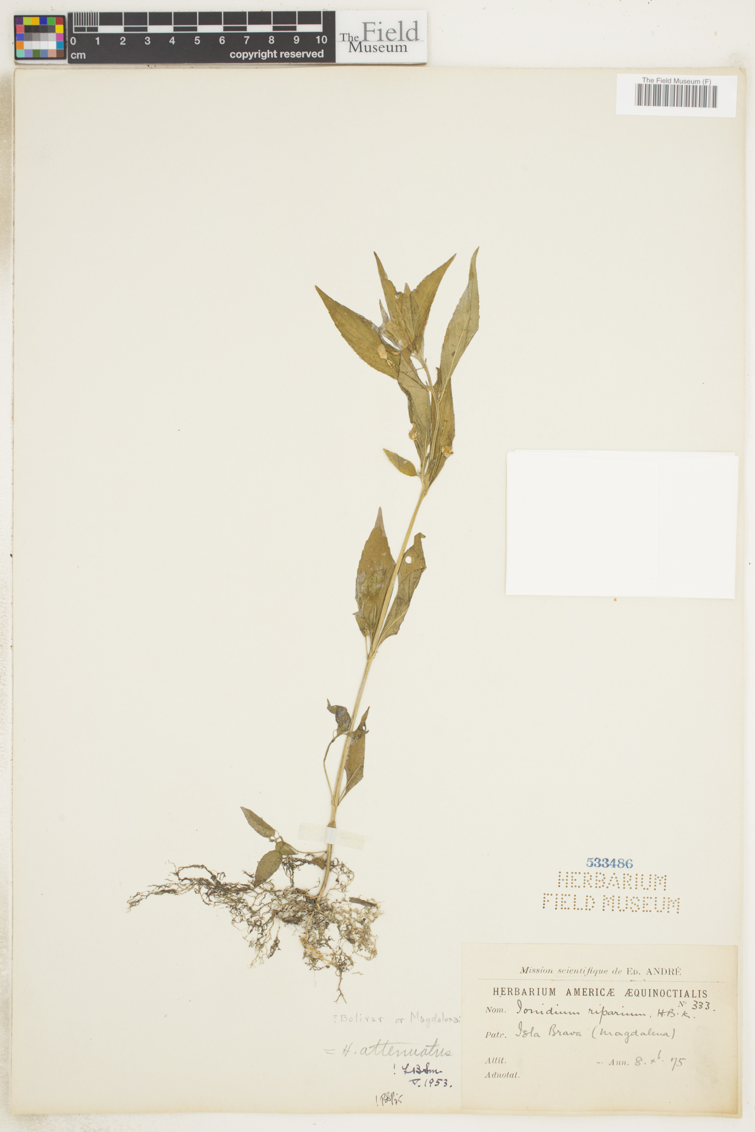
Locality: Perú | | |
Available Media:
- 1 image file
IRN: 3132650
GUID: 67b344ef-0163-4bea-95d0-55f15a52c800
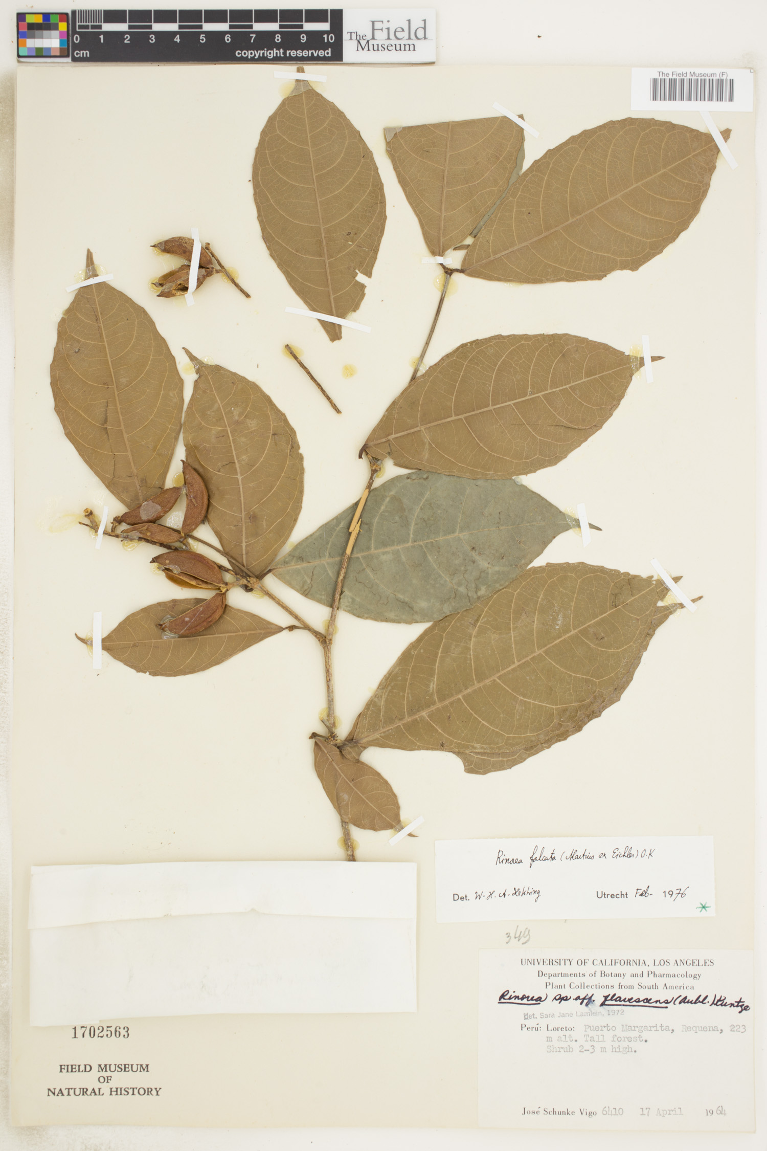
Barcode: V0334371F
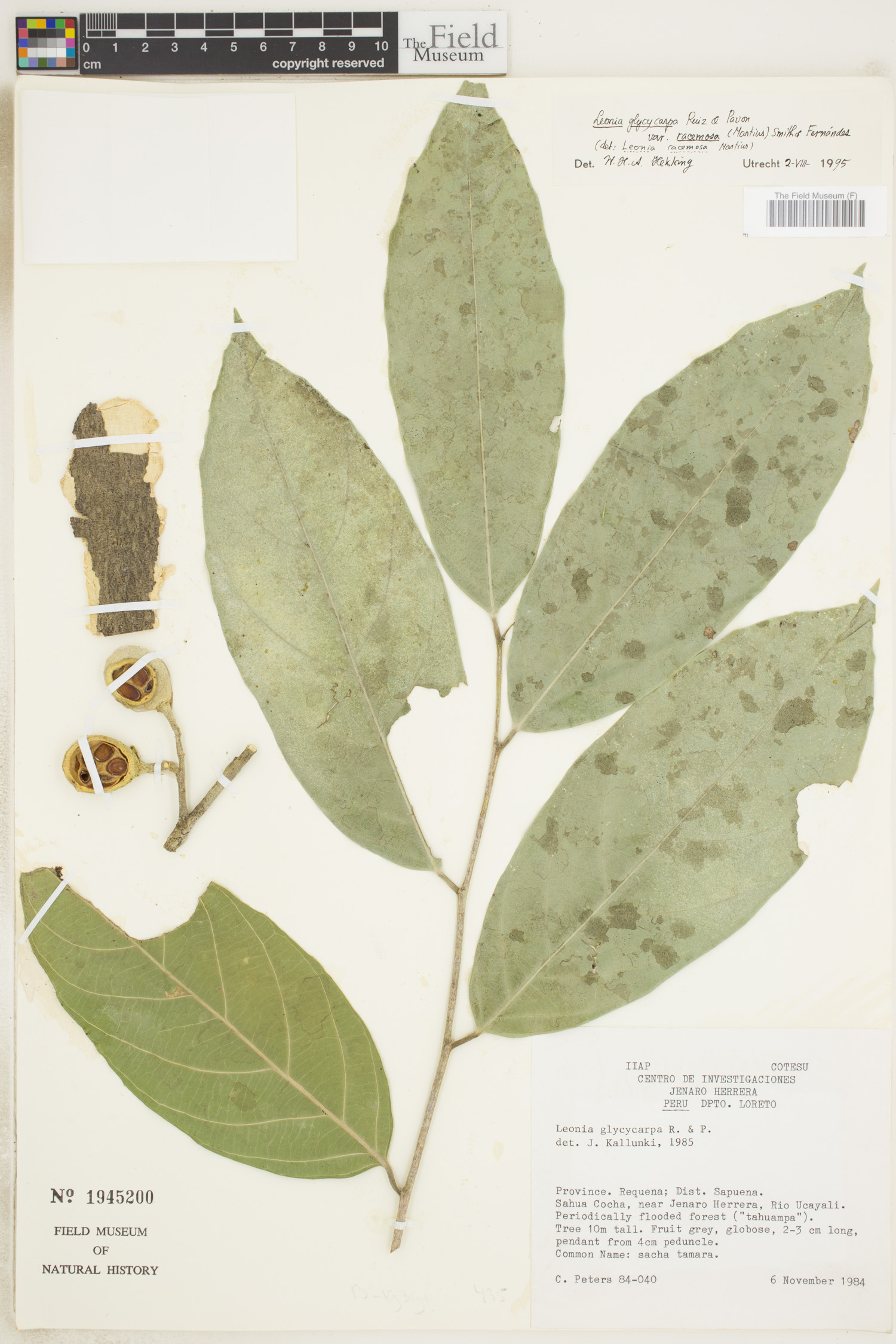
Locality: Perú | | |
Available Media:
- 1 image file
IRN: 3135128
GUID: bbfb399f-76e9-4100-b3e7-606a7bb39453
Barcode: V0336502F
Locality: Perú | | |
Available Media:
- 1 image file
IRN: 3122214
GUID: 5825cbb2-b1f5-4ca4-81d3-742a46a50ca0
Barcode: V0333478F
Locality: Perú | | |
Available Media:
- 1 image file
IRN: 3122541
GUID: b399d17b-abd5-4794-a175-54efaea4b18b
Barcode: V0336622F
Locality: Perú | | |
Available Media:
- 1 image file
IRN: 3122504
GUID: 374aa884-f10e-4565-849f-90a4a49531c5
Barcode: V0333723F
Locality: Perú | | |
Available Media:
- 1 image file
IRN: 3124930
GUID: be42684d-dcb3-4e69-835f-b87cdad831d7
Barcode: V0336485F
Locality: Perú | | |
Available Media:
- 1 image file

IRN: 3122186
GUID: 5e7c7ece-7148-4210-be5f-45ab8b71ff8d
Barcode: V0336180F
Locality: Perú | | |
Available Media:
- 1 image file
IRN: 3121593
GUID: 9af2b77f-2b3d-46ae-b2d6-eedf4468349e
Barcode: V0333895F
Locality: Perú | | |
Available Media:
- 1 image file
IRN: 3122621
GUID: d1b09b5b-9005-40ef-8063-101cd7a34270
Barcode: V0333602F
Locality: Perú | | |
Available Media:
- 1 image file
IRN: 3124715
GUID: d4d81410-611a-4f59-b7f3-29817933a5a7
Barcode: V0333581F
Locality: Perú | | |
Available Media:
- 1 image file
IRN: 3124544
GUID: 9cb512a1-9991-44a3-89f2-863f3c6e7590
Barcode: V0333796F
Locality: Perú | | |
Available Media:
- 1 image file
IRN: 3122371
GUID: 88bba0a7-39a4-4ca5-b570-c9f5d5ec025c
Barcode: V0333845F
Locality: Perú | | |
Available Media:
- 1 image file
IRN: 3122548
GUID: 564aef63-fd6f-46d3-aa31-4b28a878cc74
Barcode: V0333623F
Locality: Perú | | |
Available Media:
- 1 image file
IRN: 3124695
GUID: 38c3052d-c55f-497c-98cb-e8d2e7791fa6
Barcode: V0336517F
Locality: Perú | | |
Available Media:
- 1 image file
IRN: 3122249
GUID: 6df75ece-f8a2-4f44-a4f4-74e28b80e53a
Barcode: V0333893F
Locality: Perú | | |
Available Media:
- 1 image file
IRN: 3122623
GUID: 3ad5c0ca-53d0-460b-af43-04f63effc1d1
Barcode: V0336124F
Locality: Perú | | |
Available Media:
- 1 image file
IRN: 3121552
GUID: 078c64d3-0fe4-4494-a898-d0d345eb2954
Barcode: V0333587F
Locality: Perú | | |
Available Media:
- 1 image file
IRN: 3124533
GUID: 2870ac98-fae9-43c9-8cdd-1ad8d684757e
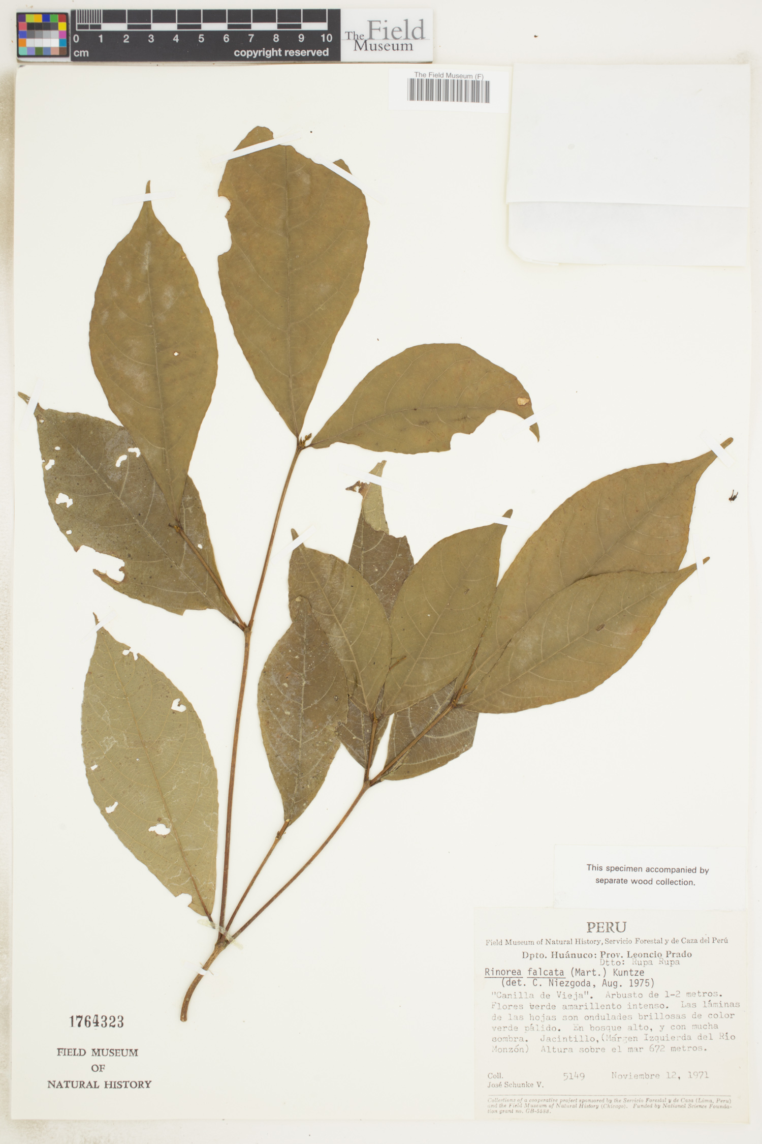
Catalog Number: 1704056
Barcode: V0333584F
Locality: Perú | | |
Available Media:
- 1 image file
IRN: 3124540
GUID: 68cd4b0f-9b23-4154-be99-1333c8f3efb2
Barcode: V0336265F
Locality: Perú | | |
Available Media:
- 1 image file
IRN: 3121638
GUID: 7ffb18eb-3bf0-4bb5-81a3-be94e76a73d9
Barcode: V0336625F
Locality: Perú | | |
Available Media:
- 1 image file
IRN: 3122508
GUID: 1207836c-b1cf-4979-98d0-40bdca6b3590
Barcode: V0336295F
Locality: Perú | | |
Available Media:
- 1 image file
IRN: 3121723
GUID: ecfc69de-4883-4fab-9425-5c9fbbc2fb11
Barcode: V0336640F
Locality: Perú | | |
Available Media:
- 1 image file
IRN: 3122529
GUID: 00c0006d-9540-4e6e-9d1c-6c3c38071695